Natchez Trace National Scenic Trail

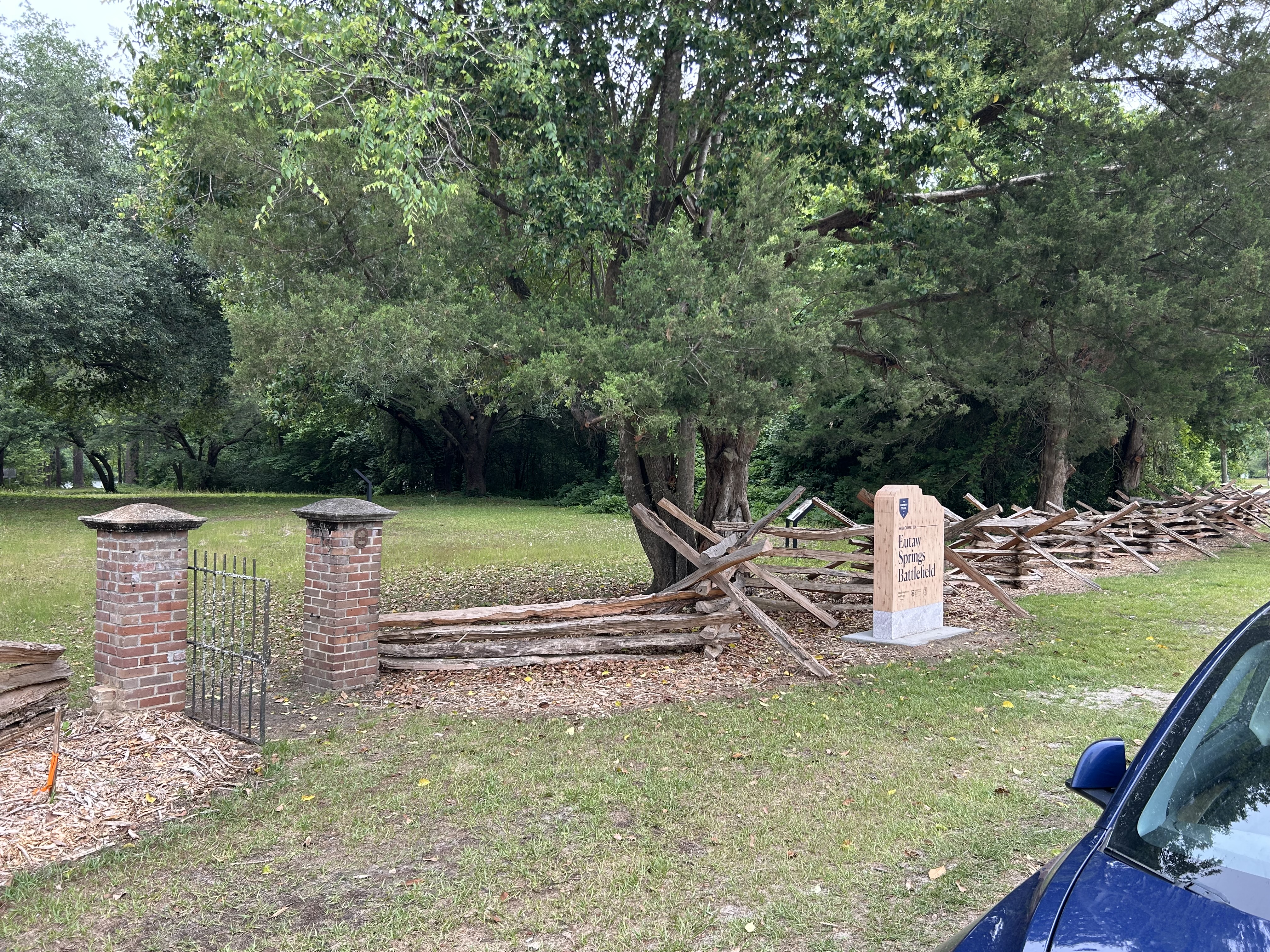
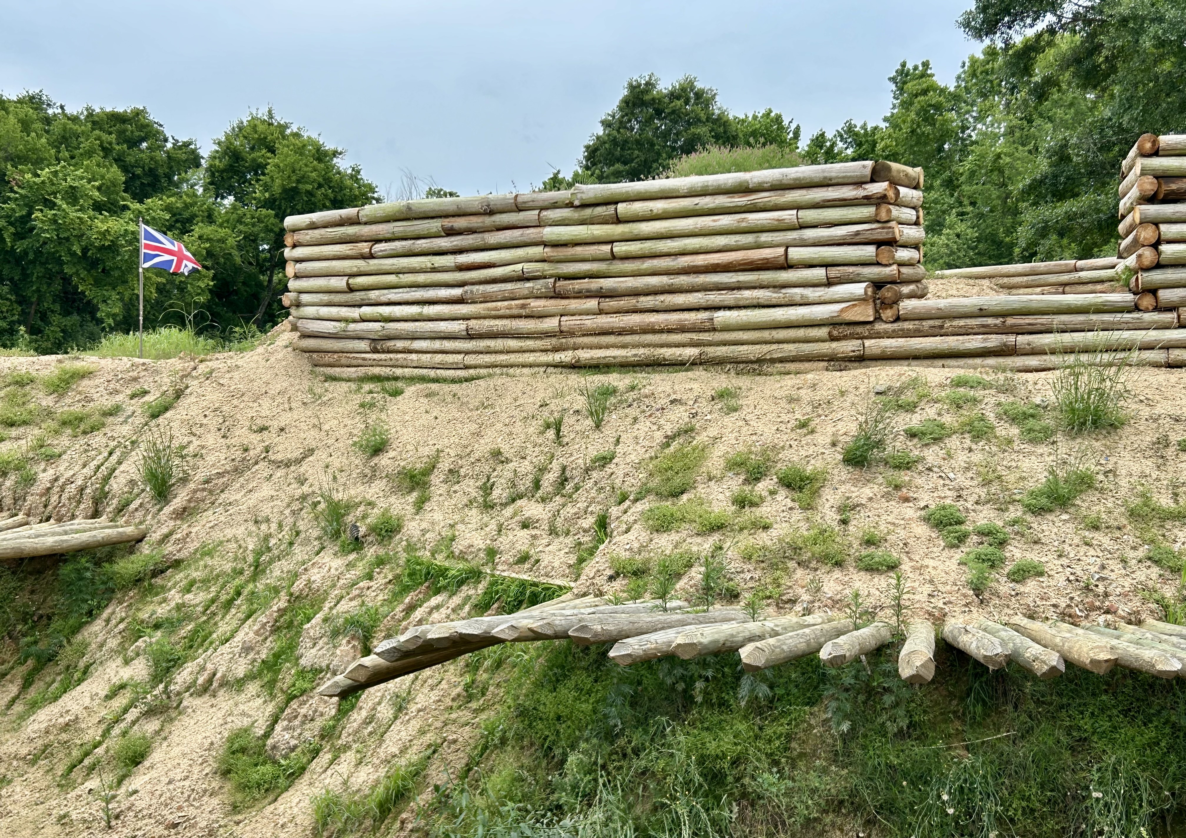
This year I revisited the Natchez Trace Parkway, determined to get out of my car and hike more on the “old trace” which is a National Scenic Trail that runs along the same ridge from Natchez Mississippi to Nashville Tennessee. Potkopinu near the southern terminus has 20’ deep sunken sections of trail carved into the soft soil. There are other maintained sections near Jackson and Tupelo Mississippi. And there are many small remnants of the trace next to the parkway. I visited a couple small waterfalls on the trace in Tennessee and stopped at the memorial to and burial spot of Meriwether Lewis.

After completing his expedition with Clark, Jefferson appointed Lewis territorial governor in St Louis. Lewis worked hard to maintain peace with natives in the area, using his own funds and then applying for reimbursement from the US. An unscrupulous rival began a smear campaign against Lewis, using common delays in mail to paint Lewis as a poor administrator. Lewis set out to clear his name in DC personally, taking a trusted Native American friend with him for security. He wrote to his friends about his anguish at being maligned and misjudged.

One night in a cabin on the old Natchez trace in Tennessee, Lewis’ native aide was off looking for some missing horses, when shots were heard and Lewis was found shot in both the head and the stomach. He died later that morning. Witness testimony was inconsistent, but at one point someone in his party claimed to have heard both sounds of a scuffle and a cry for help, although they feared to enter his room during the night.

Bizarrely, the official report was suicide. Not sure how or why someone shoots themselves in both the head and the stomach. Years later, the body was exhumed and examined by a doctor who said it was likely the work of an assassin. Nevertheless, many historians are idiots, so the suicide theory did not die. They argue that Lewis was agitated, talking to himself, depressed and may have taken alcohol or medicine.

Obviously, Lewis had reason to be agitated, depressed and was practicing the speech he would give upon arrival in DC. The old trace was dangerous, the political situation was unstable and Lewis had dangerous rivals. At that moment, Lewis was basically unguarded. And more obviously, why would a suicidal man embark on a long journey and plan for his security, if he was preparing to kill himself? Lewis went on a personal mission to clear his name, and it’s extremely difficult to reconcile that fact with his giving up mid journey. If Lewis is known for anything in our history, it is completing the journey, even when times are tough. Meriwether Lewis was murdered on the Old Natchez Trace.

North Carolina in Photos

Celebrating completing the Tar Heel State!

Above are the Blue Ridge Parkway (also in Virginia), Cape Hatteras NS, Cape Lookout NS, Carl Sandburg Home NHS, Fort Raleigh NHS, Guilford Courthouse NMP, Moores Creek NB, and Wright Brothers N Memorial. Appalachian NST, Great Smoky Mountains NP (also in Tennessee), Overmountain Victory NHT, Trail of Tears NHT, Blue Ridge NHA, Gullah Geechee Cultural Heritage Corridor, and the Southern Campaign of the Revolution NHC are here too.

Cumberland Island National Seashore

Decades later, I returned to see the southern live oaks that have haunted my dreams. Now I know the ferns that grow on the tops of their branches are called resurrection ferns, since they revive to a bright green after it rains. As a teen, I was told that humans could eat the Spanish Moss that hangs down from their branches, but returning as a tourist I was told that no humans ever did, only horses. I was too ashamed to admit I ate some long ago and thought it tasted OK.

Since I had been to the island before, I knew the only way to get to the north end on a day trip was to take a tour, so I joined the NPS recommended van tour and got to see everything from the settlements at the north to the Dungeness ruins in the south. The photo above is behind the Plum Orchard mansion, one of a few Carnegie family homes built on the island. The Carnegies were excluded by the other billionaires on neighboring Jekyll Island, so many of them settled here. Plum Orchard is beautiful and has interesting innovations, but plantation style troubles me. The center of the island is protected wilderness, and it feels like an ancient forest or overgrown jungle. Along the way we saw wild boar, wild horses, an alligator, several armadillos, and many beautiful birds.

I don’t always try to draw historic connections between parks, but bear with me this once. The natives here were related to the Timucuan. The Gullah Geechee (next week’s post) descendants of slaves are related to those all along the coast up to Reconstruction Era and down into Florida. The southern live oaks from this island were used to build the “iron sides” of the USS Constitution in Boston. Nathaniel Greene, commanding general of the Southern Campaign of the Revolutionary War, died shortly after retiring near Savannah Georgia, and his wife remarried and moved to Cumberland Island. There, Greene’s daughter Louisa cared for one of his cavalry officers, Henry Lee—veteran of Eutaw Springs—, before his death and burial at Dungeness mansion. Lee’s son was Robert E. Lee of Arlington House. And, if you want one more parks connection, the Carnegie’s innovative household DC power was likely overseen by Thomas Edison.

When I first arrived on the island several decades ago, I was invited as a guest of someone who knew the owners into a grand old home under the oaks for a meal, stories on the porch and an after dinner cognac, my first. As I recall, there was some discussion about whether the home would have to become an inn to survive, and we all agreed that it was important for beautiful old historic places to be preserved. (It later became the exclusive Greyfield Inn of Kennedy wedding fame). Folks need to come to places like Cumberland Island to try to imagine what it was like all those years ago, to walk along the barrier island beaches, to see the wild horses, to learn about dugout canoes, see photos of Primus and Amanda Mitchell who went from slaves to church and settlement founders, to learn about sea island cotton, and especially to feel the special old grandeur under those southern live oak trees.

Kentucky in Photos

Celebrating completing the Bluegrass State!

Abraham Lincoln Birthplace, Camp Nelson, Cumberland Gap, Mammoth Cave—a biosphere, national park & world heritage site—and Mill Springs are all above. Cumberland Gap is a multi-state park, but since I mostly hiked on the Kentucky side, I’m counting it here. Big South Fork and Fort Donelson parks are shared with Tennessee. Historic trails Lewis & Clark and Trail of Tears both travel in the state, and I recommend you do too.

South Carolina & Southern Campaign of the Revolution National Heritage Corridors

These are two obscure heritage areas in the Carolinas, but none of the state or national park employees I spoke with had heard of either. While the South Carolina NHC has historic sites, plantations and gardens, the parks included—like Pinckney, Sumter, and Overmountain Victory—are unrelated. And while the Revolution NHC includes Moores Creek, it excludes many other important battles in the Carolinas and neighboring states. Don’t waste time following these confusing corridors, but instead start with an overview at historic Camden.

Here’s the story of the Revolutionary Campaign in the southeast, focusing on national sites and affiliates. Virginians Henry, Jefferson and Washington led their colony into rebellion, in concert with the north. Virginia colonial governor Lord Dunmore called in troops, organized loyalists and even formed a regiment of liberated slaves. Echoing Bunker Hill, Patriot militia fought well at Great Bridge in 1775, prompting Dunmore to order the shelling of Norfolk Virginia. Echoing Concord, the Patriots cut down a broadsword charge at Moores Creek North Carolina in 1776. And at the end of 1778, the Patriots took Savannah, followed up with a victory at Kettle Creek Georgia in early 1779.

But in May of 1779, the British sacked Portsmouth in Virginia, kicking off their southern campaign in earnest. In late 1779, the British returned to Savannah, capturing it after a siege. In early 1780, they took Charleston SC after another siege. Next, they turned their attention inland, hoping to sway more loyalists, keep their large southern colonies, and then take the fight back to the northeast. In 1780 the British fought over a dozen battles around Charleston and Camden (see Cornwallis’ HQ below) in South Carolina, consolidating their control over the colony.

But the British were ruthless in the south, revoking pardons, burning homes & farms, and imprisoning or hanging those who wouldn’t sign loyalty oaths. The most infamous example happened in May 1780 at Waxhaws—named after a local tribe—, when Banistre Tarleton massacred Patriots, inspiring further rebellion. Popular resentment against the tyrannical British grew, especially among the Scots-Irish settlers. After Gates lost his leadership position after failing at Camden, Nathaniel Greene began a much more effective guerrilla campaign in the back country.

The Patriots didn’t win all their battles, but many of the British victories were Pyrrhic, causing them to cede territory even after eking out technical victories. The back country belonged to the Patriots, especially when reinforcements crossed the Appalachian Mountains on the Overmountain Victory Trail. The Patriots won at Kings Mountain in late 1780, then again at Cowpens in January 1781.

Even though the British subsequently won at Petersburg VA, Ninety-Six in SC, and at Guilford Courthouse NC, clearly, they were not winning the broader campaign. Cornwallis brought his troops north to Virginia. After a close battle near Camden, the remainder of the British forces retreated for Charleston, with the last battle in the southeast fought at Eutaw Springs in September 1781. The denouement was set for Yorktown.

Eutaw Springs Battlefield

This was one of the final battles for inland South Carolina, in September 1781. Nathaniel Greene’s Patriots were battle hardened and his forces included Francis Marion, Andrew Pickens, and William Washington. The British were equally disciplined veterans. What unfolded was a brutal battle between evenly matched sides that descended into hand-to-hand combat. Finally, the British line broke, and the Patriots entered their encampment.

While it seemed that the day was won, the British formed a defensible position between a stout brick house still marked by a garden gate and the Santee River, now Lake Marion behind the trees below. Stymied, Greene was forced to back off and wait. Both sides claimed victory—technically the British held the field at the end—, but clearly it was a strategic loss for the British, who lost more troops, were forced to withdraw to Charleston and never again advanced in the back country.

Historic Camden

This privately managed affiliate site is one of the best revolutionary war sites in the Carolinas. On over 100 acres of battlefield and early townsite, they have reconstructed Cornwallis’ HQ, one of the redoubt forts (above), a historic tavern, and many other buildings that bring life to history. While separately managed, there’s also a visitor center next door that explains the whole course of the war in the Carolinas, which I will cover in a separate post next month.

Camden was on the Kings Road from Charleston across the low country into the back country. Here it joined with Native American trading routes and the Great Wagon Road from the northeast to Georgia. The British were determined to manage their colonies inland, and not just occupy coastal cities. They also wanted to control trade, tax the rich, hire Native Americans to fight for them, and raise militias of loyalists. Cornwallis fortified Camden as his supply hub.

General Gates, of Saratoga fame, was tasked with attacking Cornwallis. The Battle of Camden in August 1780 was a disaster for the Patriots. Gates put inexperienced troops on his left, who were wholly unprepared to meet the best British troops Cornwallis put on his right, as usual. The French General Baron de Kalb fought to his death at Camden. Gates withdrew to North Carolina. He was later replaced by Nathaniel Greene.

Many of the losses were due to diseases like dysentery, and there’s a detailed exhibit in Cornwallis’ HQ, where a docent answered my various questions. Captured prisoners from British victories in the area were often initially held in Camden and then marched to Charleston where they were imprisoned on ships in dangerously unsanitary conditions.

In 1781, Nathaniel Greene, having recruited Catawba warriors and run a cross country guerrilla campaign disrupting the British, returned to Hobkirk’s Hill near Cambden in April for a rematch. While the British won the day, they decided they could no longer defend Cambden and retreated to Charleston. Cornwallis had already moved north on his way to establish a new base at Yorktown.

Kettle Creek Battlefield

This affiliate site memorializes a key Revolutionary War battle in Georgia in mid February 1779. The British had been moving freely through Georgia with some 600 loyal colonial forces, until 350 Patriots came across them west of Augusta at Kettle Creek. The smaller force of Georgians and South Carolinians had the element of surprise and attacked, under the command of Andrew Pickens. The British quickly climbed a hill and sought cover, but their leader was shot and mortally wounded. Fearing they were being surrounded, the British retreated back across the creek in some disorder and most escaped. This battle was a significant defeat for the British who lost 3 times as many men, including their Colonel Boyd. The markers above are cenotaphs, placed about 60 years ago, in memory of American veterans of the battle who are buried elsewhere. There are several hiking loops in the woods to give you a sense of the hilly, difficult terrain, with crosses marking actual graves.

Overmountain Victory National Historic Trail

The trail stretches from Virginia, through a corner of Tennessee, south through North Carolina and into South Carolina at Cowpens and Kings Mountain (below). Revolutionary War re-enactors and enthusiasts follow parts of the trail on foot and by car annually, ever since some Boy Scouts walked the whole length in 1975. I’ve crisscrossed the area, and it’s beautiful country with whitewater rivers and some steep mountain slopes. Both the Appalachian Trail and the Blue Ridge Parkway cross and run along near the trail, and the Biltmore Estate is near the middle.

Many of the colonial settlers in the highlands here were descendants of Scots-Irish lowlanders, and their families still held grudges against the British, especially those who fought to extend the Empire by force. The British sent officers to the Carolinas to bribe and intimidate their subjects to remain loyal to the crown. They sent mercenaries, regular soldiers, and raised local militias to threaten settlers, particularly in the foothills. Their heavy-handed tactics provoked the Appalachian settlers. One particularly offensive leader was Major Patrick “Bulldog” Ferguson, who had ordered the bayonet slaughter of sleeping Patriot troops at Little Egg Harbor, NJ. He also designed the Ferguson rifle, a breach-loading rifle, and was wounded in the right arm in the Battle of Brandywine against General Washington, after which the British took Philadelphia.

The trail commemorates the pursuit of Ferguson’s army from north to south, by the citizen militias that rose up from Georgia, Tennessee, Virginia and the Carolinas against the overbearing British threat, culminating at Kings Mountain. Immediately before and after the events of the Overmountain Victory, the Patriots also won decisively at Musgrove Mill and Cowpens, respectively. These Appalachian Patriots turned the course of the Revolutionary War.

Normally, high ground is superior during fighting, but the ridge at Kings Mountain is steep, fairly straight and narrow. Once the patriots managed to get on both sides, the British became easy targets on top. Ferguson was shot off his horse, shot a young soldier asking him to surrender, and was finally shot multiple times and urinated upon before being buried in an unmarked grave where he lay. A headstone was later placed in the woods not far from the large monument at Kings Mountain below.

Cape Lookout National Seashore

The ferry pilot told me that this is the best view of the Cape Lookout Lighthouse, so there you go. Seeing wild horses was quite simple at Shackleford Banks, as there aren’t many places to hide. And the horses don’t seem to mind photos while they’re grazing.

A few decades ago, I came through the Beaufort Inlet on a boat to resupply. The docks and front street of Beaufort NC—not to be confused with Beaufort SC—haven’t changed much, although everything is quite a bit busier and pricier now. I don’t remember seeing any horses, although we knew they were there.

Unlike the rest of the Outer Banks to the north, Cape Lookout’s barrier islands have no paved roads. A few fishermen and visitors bring cars over on a vehicle ferry from Davis to Great Island Bay, and there’s another vehicle ferry from Atlantic to beach camping on North Core Banks. There’s also a passenger ferry from Ocracoke to the north end of this seashore at Portsmouth Village. And concessionaires run ferries both from Beaufort to Shackleford Banks and from Harkers Island—where I left from—to both Shackleford and the lighthouse. Yes, that’s five different ferries from five separate locations to five disconnected destinations, depending on your plan.

The seashore is quite casual, parents with babies, school groups, many folks bringing their dogs, tourists looking in the light keeper’s house, campers, sporty teens, and some older folks appreciating the natural beauty while reminiscing. The beaches have many shells, and you are allowed to take a few home. Many boats cruise around the bays from nearby marinas tucked into the coast’s rivers, and I heard several small planes going overhead. I drove up when the Harkers Island visitor center opened, got a ticket, hopped off on Shackleford, hopped on the next boat for the lighthouse, hiked around a bit and returned to find some seafood. Of course there are miles of beach to walk. Very pleasant.