Best Park in the southwest: Big Bend NP in Texas. It has canyons, hiking, rivers, wildlife, views and it takes at least 2-3 days to see it properly. But go around winter, as it’s becoming dangerously hot much of the year.
Best State in the southwest: New Mexico. Some of the best natural wonders and native cultural sites in the country.
Best (and only) Affiliate Site: Oklahoma City Memorial.
Best Cave/ Most Bats: Carlsbad Caverns
Best Culture: New Orleans Jazz NHP. Get the ranger to play some of Louis Armstrong’s old trumpet recordings. And then go out, explore, eat, drink and find some live music.
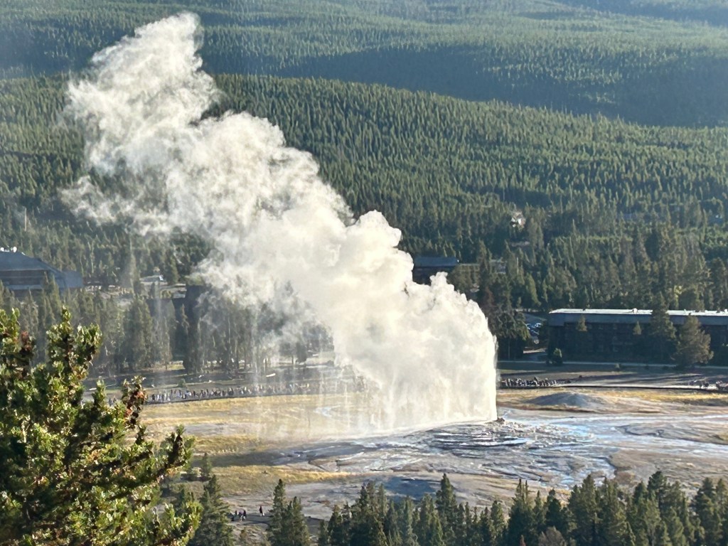
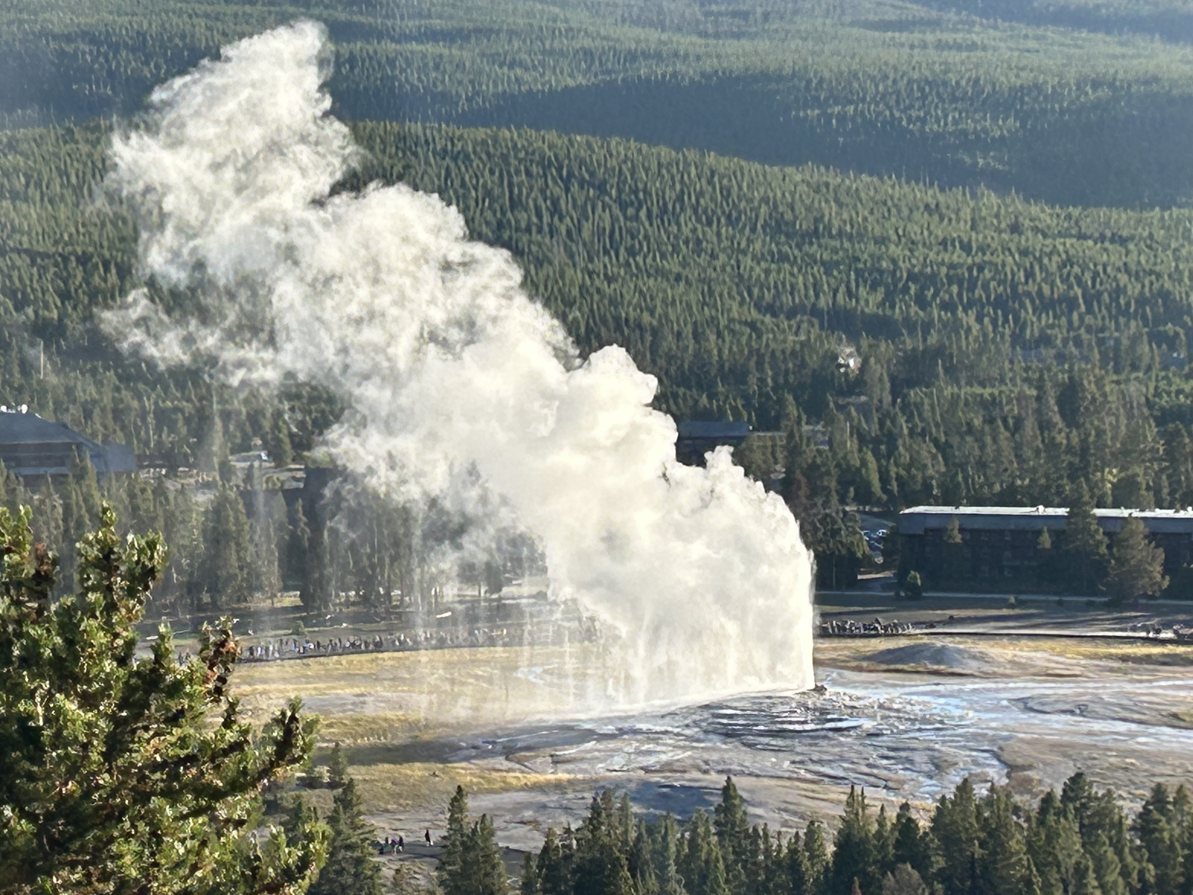
Freak of Nature: White Sands
Most Haunting: Cane River Creole
Best Heritage Area: Atchafalaya. Deep in the bayou, learn the fascinating stories of the Cajuns!
Best Hiking: Gila Cliff Dwellings
Best Historic Site: Pecos NHP. Do both the Native American history and the Civil War battle tours.
Tallest Ladders: Bandelier
Best National Trail: Butterfield Overland Stage. Although it only ran for a few years, it cuts near the Mexican border through many fascinating historic sites.
Best Native Ruins/ Sacred Sites: Chaco Culture. Tough to get to. Unforgettable.
Best Paddling: Big Thicket. Slalom your kayak through the swamp. Glorious!
Best Recreation: Hot Springs NP. Take a hike or go shopping, if you like, but try to find a place to soak in the old style. Relax and enjoy!
Best Wildlife: Padre Island NS. Hike or better paddle along the shores and count the different species of birds.
Best World Heritage Site: Taos Pueblo. One of the oldest continuously inhabited places in the US.
Read more about my visits to all the parks in the southwest region. See my photos of Arkansas, Louisiana, New Mexico, Oklahoma and Texas.