El Pinacate

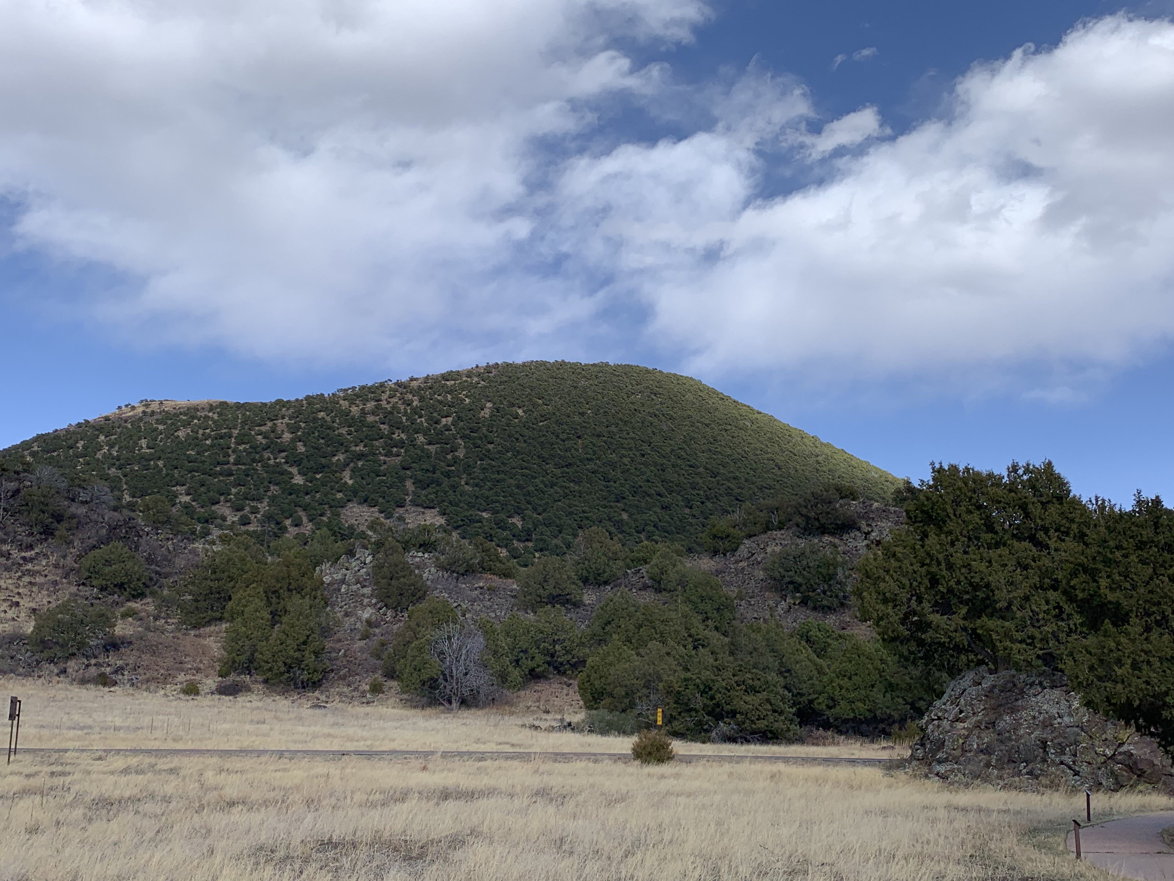
Earlier this month, I visited El Pinacate y Gran Desierto de Altar [literally ‘the stink beetle and the great high desert’]. It’s a UNESCO Biosphere and World Heritage Site in Sonora Mexico, and it’s a sister park to Organ Pipe Cactus NM across the border in Arizona. A dozen pronghorn scampered through the various cactus, but unfortunately the border wall prevents many species from moving freely in their natural habitat. The main attraction is ten large volcanic craters, including the deep, symmetrical Elegante below. The landscape is extraordinary and otherworldly, with long black lava walls, cinder cones, sand dunes, various cacti, bushes, shrubs and wildflowers. There is enough rainfall to support birds, reptiles and wildlife like big horn sheep. Some folks camp overnight to experience the vast dark skies, far from large human settlements.

A 2018 movie called Sonora was filmed here, and the movie describes the desert as both the middle of nowhere and ‘the devil’s highway’. A few years ago some criminals moved into the area, but they are gone now. The roads are severely washboarded, sandy and sometimes are blocked by local landholders due to disputes over compensation, so I hired a driver, a van and a guide. There are no facilities to speak of, so you need to bring whatever you need in and pack everything out. From the supercharger in Gila Bend, it’s more than a full charge round trip to Puerto Peñasco or Rocky Point where guided tours depart, so I charged at my hotel on the Playa Bonita. The local economy is still recovering from various border shutdowns and Covid, but the onsite park museum is expected to reopen soon, which will bring more visitors. But for my visit, I was happy to have the whole park to myself.

Crater Lake National Park

The cloaked inhabitants can’t be seen on Wizard Island under Watchman’s Overlook above, nor can the massive moss beds in our nation’s deepest lake. But there’s plenty of evidence of volcanic activity, including lava flows, cinder cones and the caldera itself. The lake is restricted, but there are a few summer boat tours from Cleetwood Cove. The rim road on the far left side is often under construction, but there are many trails and overlooks elsewhere including from the Rim Village off to the right. Due to snow, the Scenic Rim Drive is usually closed from November through June, if not longer. The outside of the mountain is also worth exploring, such as a one mile hike through Godfrey’s Glen in the south. Signs of 2017 wildfires are seen near the north entrance, and the forests of Oregon are getting hotter and drier due to carbon pollution.

I’m finally catching up on my summer travel backlog, just California national parks for the remaining Mondays of the year. Thursday posts will also continue eclectically.

Mount Rainier National Park

Panorama Point above is about 1,500’ above the Paradise parking lot, halfway along the 5 mile ‘strenuous’ Skyline loop trail, just under halfway up the mountain. In July, there were waterfalls, snow on sections of the trail, wildflowers and marmots. Mts St Helens, Adams & Hood all visible in the distance. The northwest and southeast corners of the park both have old growth forests, along the Carbon River Rainforest—which is open for bicycling on the first few miles—and the Ohanapecosh River Grove of the Patriarchs Trails respectively. I understand why Muir extolled Rainier as the best of the volcanic peaks in this area.

“Of all the fire mountains which like beacons,
once blazed along the Pacific Coast,
Mount Rainier is the noblest.

John Muir

For me, it’s another return trip after several decades since my brother and sister and I took a hike and a photo up here somewhere. I was pleased to see the forest looking healthy, the clear streams near the top, the glacial gray rivers on the way down and the blue glacial lakes below, as I remember. Of course, when the rapidly receding glaciers disappear, the whole ecology will be severely disrupted. But for now, I’m happy to visit a place like this when the rest of the country is under a carbon fueled heat dome.

Capulin Volcano National Monument

I don’t always plan my schedule well enough. I made it to this park about 30 minutes before closing, but just after they closed the volcano road to the top, which is why I took this photo from near the visitor center. Sometimes parks will let you drive out before sunset on your own after the visitor center closes, but apparently the volcano road is narrow and restricted to hikers for the last couple hours of daylight. I should have checked the hours more carefully, and I should have planned an extra day or two on this leg of my trip. I actually had to postpone two planned stops until next time in order to get back on track. I think volcanoes remind me of devastation more than renewal, so I tend to de-prioritize them when planning. Oh well, sometimes we need to admit our mistakes, so we can do better in the future, if we still have time. There’s a broader lesson in that.