New Brunswick, Nova Scotia and Prince Edward Island, the three provinces known as the Maritimes, have three world heritage sites and three biospheres recognized by UNESCO. Well, almost all the sites are in Nova Scotia, but I enjoyed driving around all three provinces.
With plenty of great seafood, hiking, Celtic & Acadian culture, wildlife, history and miles of picturesque coastline, this region is highly rewarding for travelers, especially an electric road tripper. With a CCS adapter and the ChargeHub app, it’s not difficult to explore the entire region and well worth the drive.
World Heritage Sites
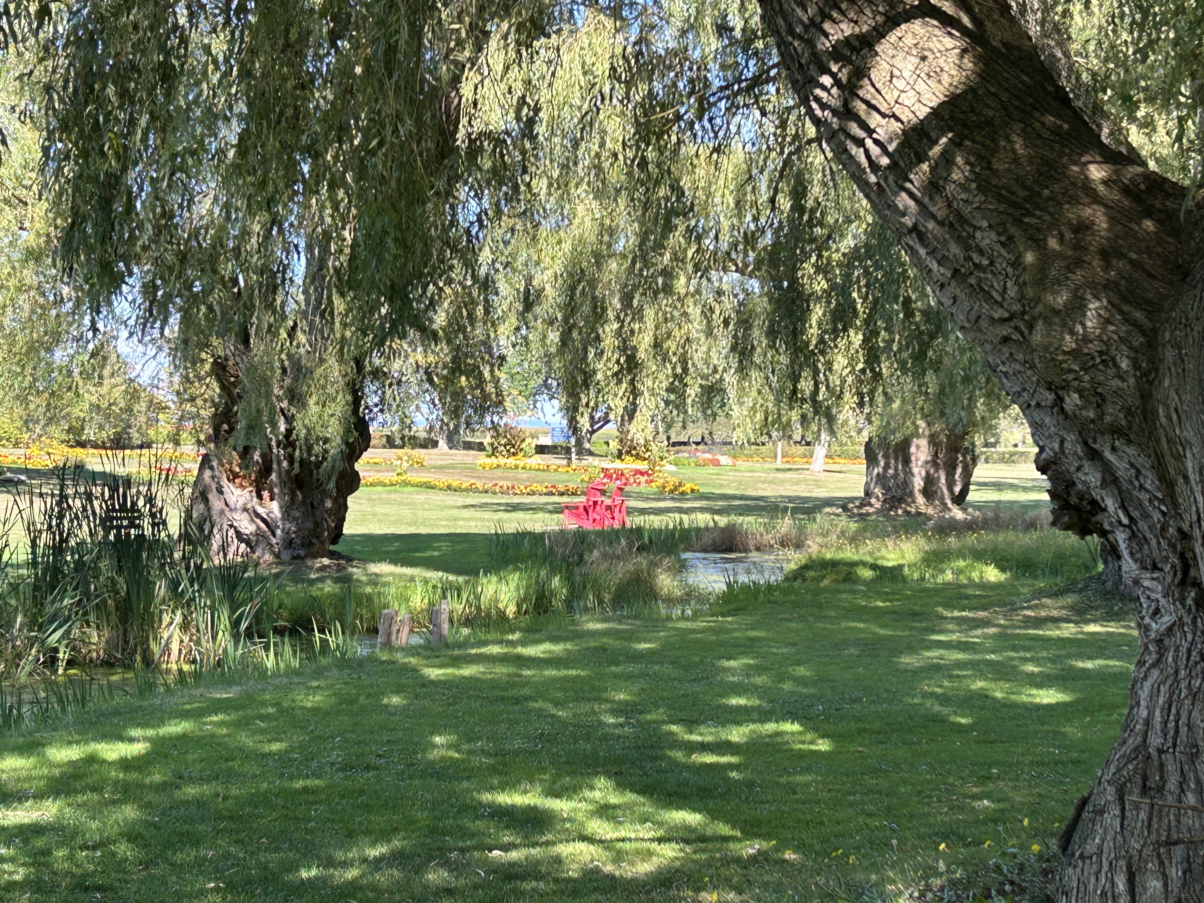
Grand Pré conveys the tragic history of the British expulsion of the Acadians. The landscape is lovely, and be sure to try the Tidal Bay local wine in a coastal town like Wolfville home to Acadia University.
Joggins Fossil Cliffs reveals an impressive geologic record of the coal age. Take a hard hat tour at low tide and find fossils.
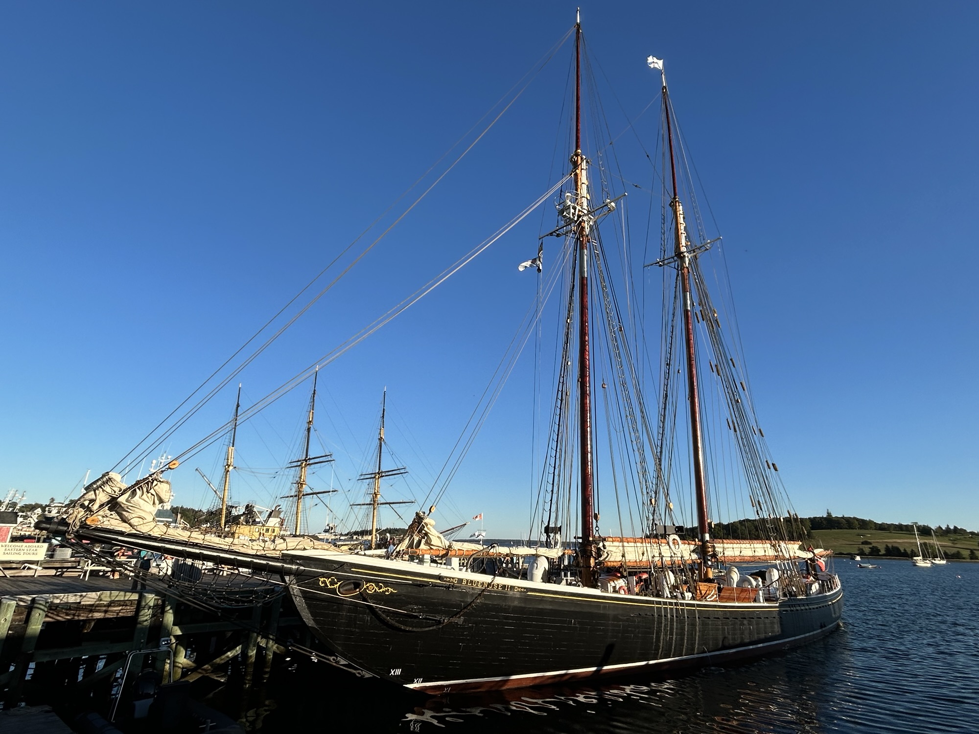
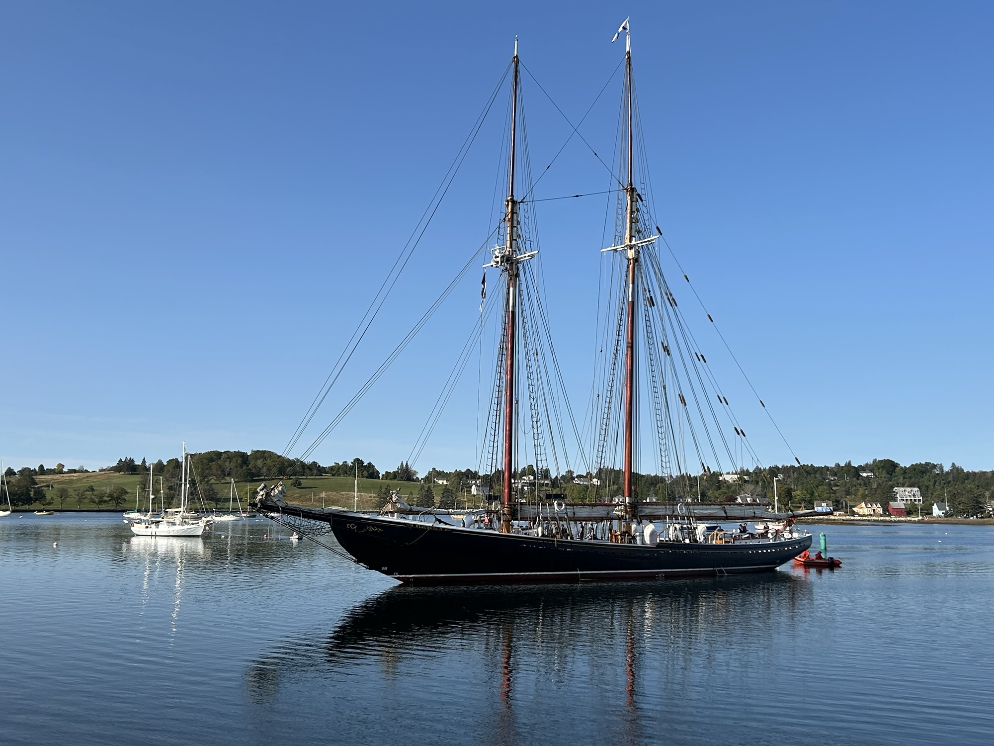
Lunenburg is a beautiful, well-preserved seafaring and fishing port. Spend the night and eat all the local seafood you can.
Biospheres
Bras d’Or Lake is open to the sea through small channels making it an important fish and bird habitat. Try a local restaurant and maybe listen to some Cape Breton fiddle at a céilidh (kay-lee).
Fundy has the world’s largest tides with dramatic coastline, shorebirds and forests. The biosphere is on the New Brunswick side of the bay around the eponymous national park.
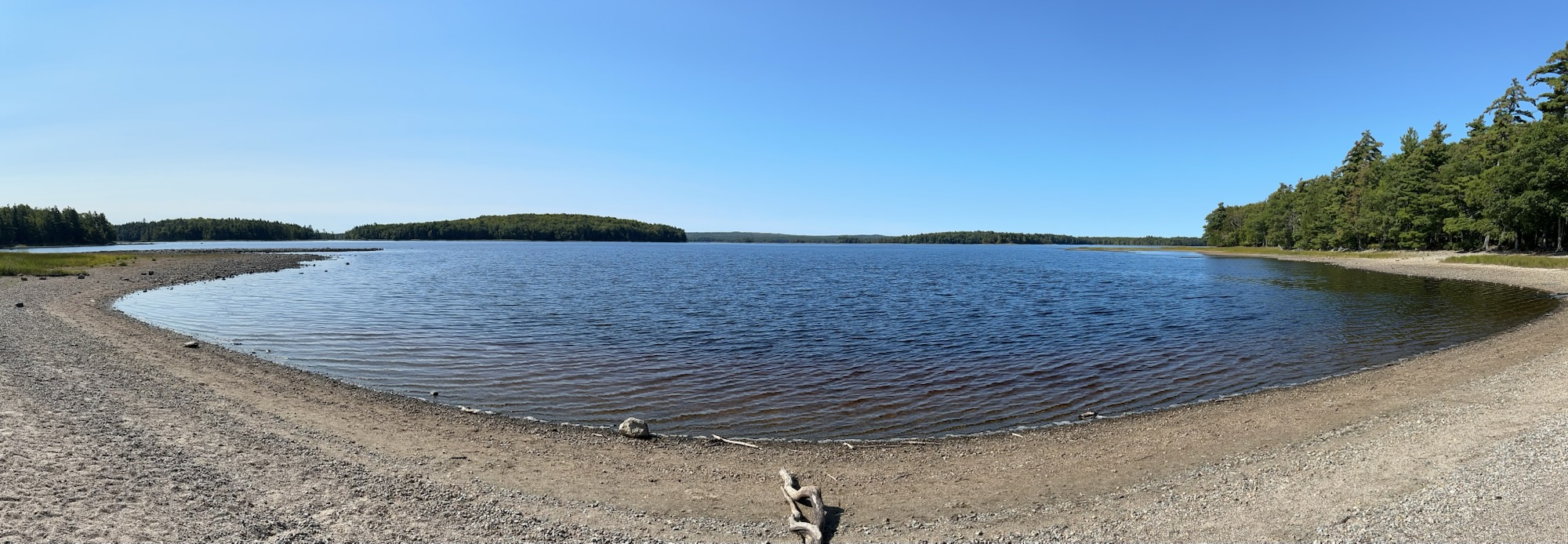
Southwest Nova protects many species, including the piping plover and blanding’s turtle. The biosphere has both a coastal and a forest component with plenty of hiking.
Bonus: Green Gables is home to LM Montgomery and her beloved characters. Prince Edward Island is the smallest province but very charming.
New Brunswick also has Kouchibouguac and Fundy National Parks, plus Campobello. Nova Scotia has Kejimkujik and Cape Breton Highlands National Parks. And Prince Edward Island has the new Pituamkek and Prince Edward Island National Parks.