While my maternal grandfather directly inspired my wanderlust, my cousin asked “what about Aunt Marjorie?” Determined that she get proper respect, he handed me a dossier about her, and another great road trip inspiration came back to life.
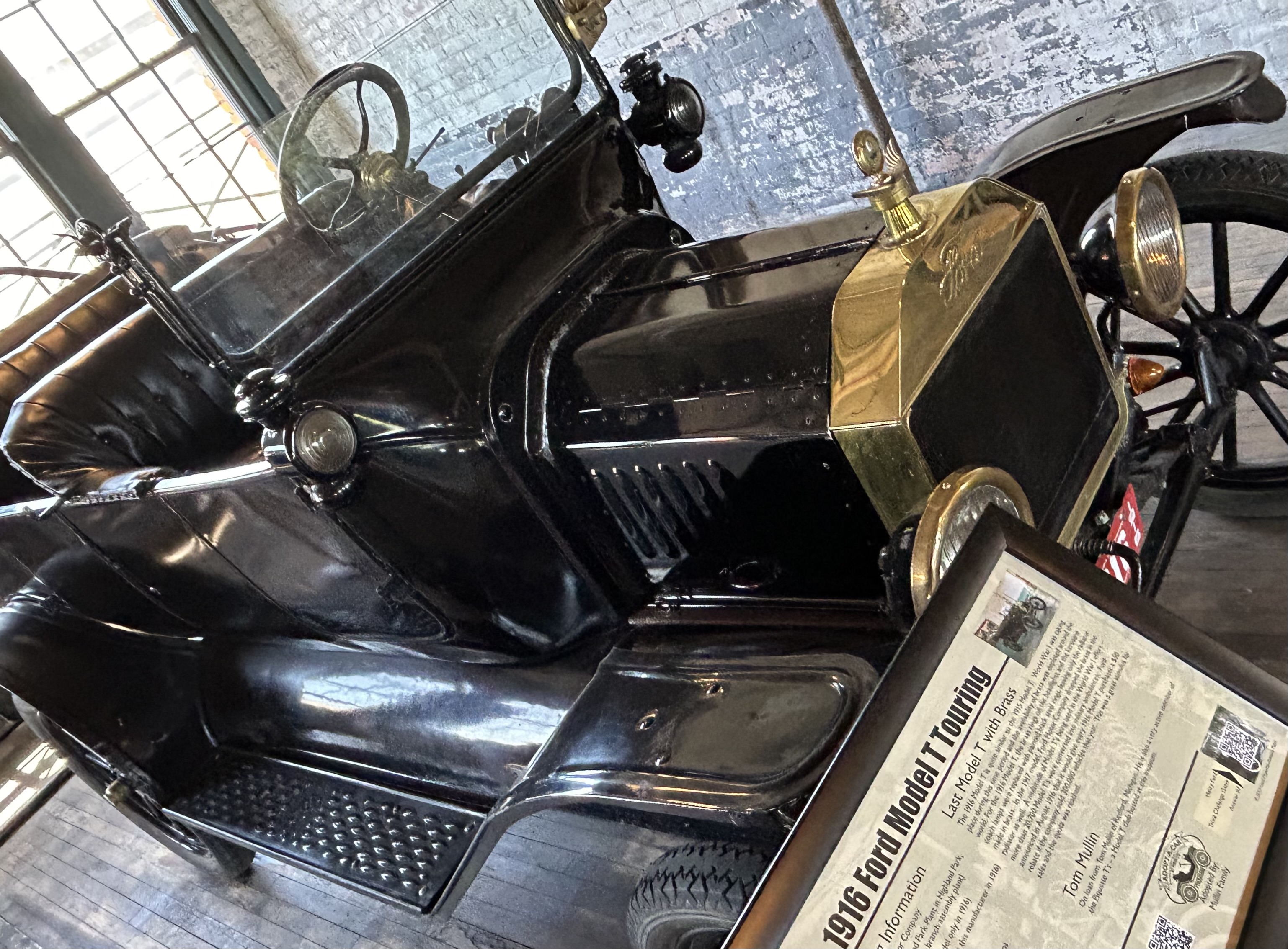
In 1925, my paternal great great Aunt Marjorie Scattergood went down to the corner of Broad & Market in Philadelphia, saw a sign pointing west with ‘San Francisco, 3000 miles’, and she thought, why not? Her college friend Gladys was driving a used Model T on the first transcontinental road (golden spike was 1869) and thought it would be fun. The car may have been the town car version, same year as the one above with a thin roof.
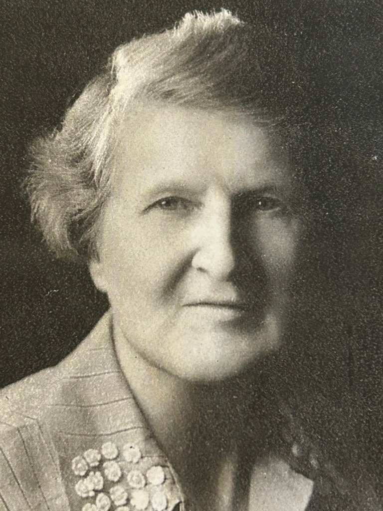
Aunt Marge was no shrinking violet. She held a world record in the hammer throw, college record in javelin, and was captain of her water polo, swim, and hockey teams.
She held degrees in History, Economics and Politics, and she had studied abroad in Edinburgh by then. She volunteered in France during WWI. And she was involved in social work connected to reformers like Jane Addams and Frances Perkins.
Her family, my father’s side, were Abolitionist Quakers, and Thomas Garrett was her great uncle and my great great great great uncle. In any case, Aunt Marjorie was not one to shy away from a challenging adventure.
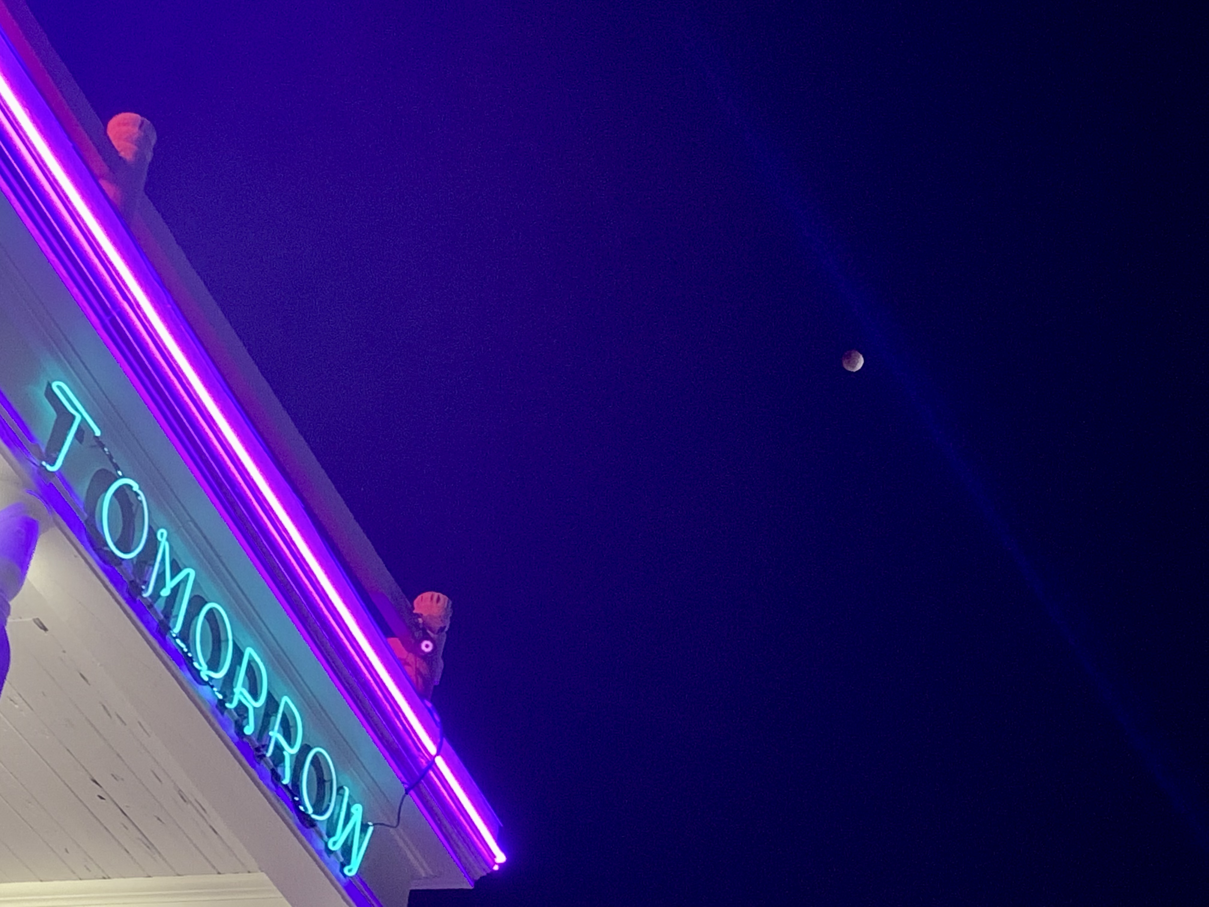
The Lincoln Highway ran from Times Square NYC, past Edison’s labs, to Philadelphia, through Gettysburg, through rural Pennsylvania, through Lincoln country, joining what became Route 66 somewhere near Dixon Illinois, then switching to the old pioneer trails, through Iowa, to Salt Lake City and ending at Lincoln Park in San Francisco, about 2 1/2 blocks from where I raised my kids.
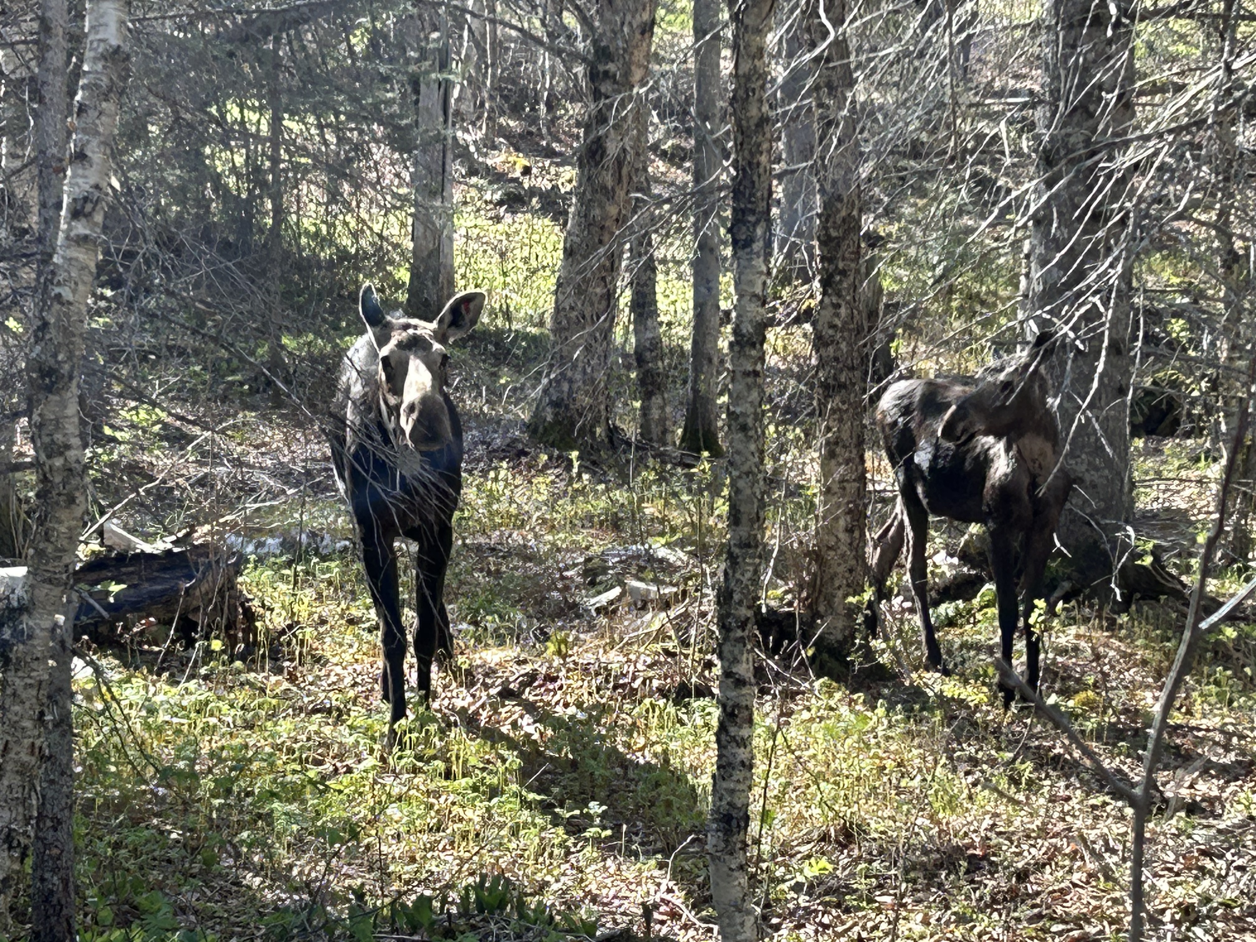
My cousin’s records revealed clues about Marjorie’s route, and they chose the longer Colorado Loop. She went to explore the west, picked apples for two months in Utah to pay for 3 tires, looked through the Keyhole on Longs Peak—a ‘high commitment/ considerable rockfall trail around 14,250 feet’ in Rocky—, and spent a month on a sheep dude ranch up in Granby Colorado. She must have passed by the Colorado NM on her way to Utah. Most of the roads out there still follow the old Spanish trails, really Native American trails for centuries.
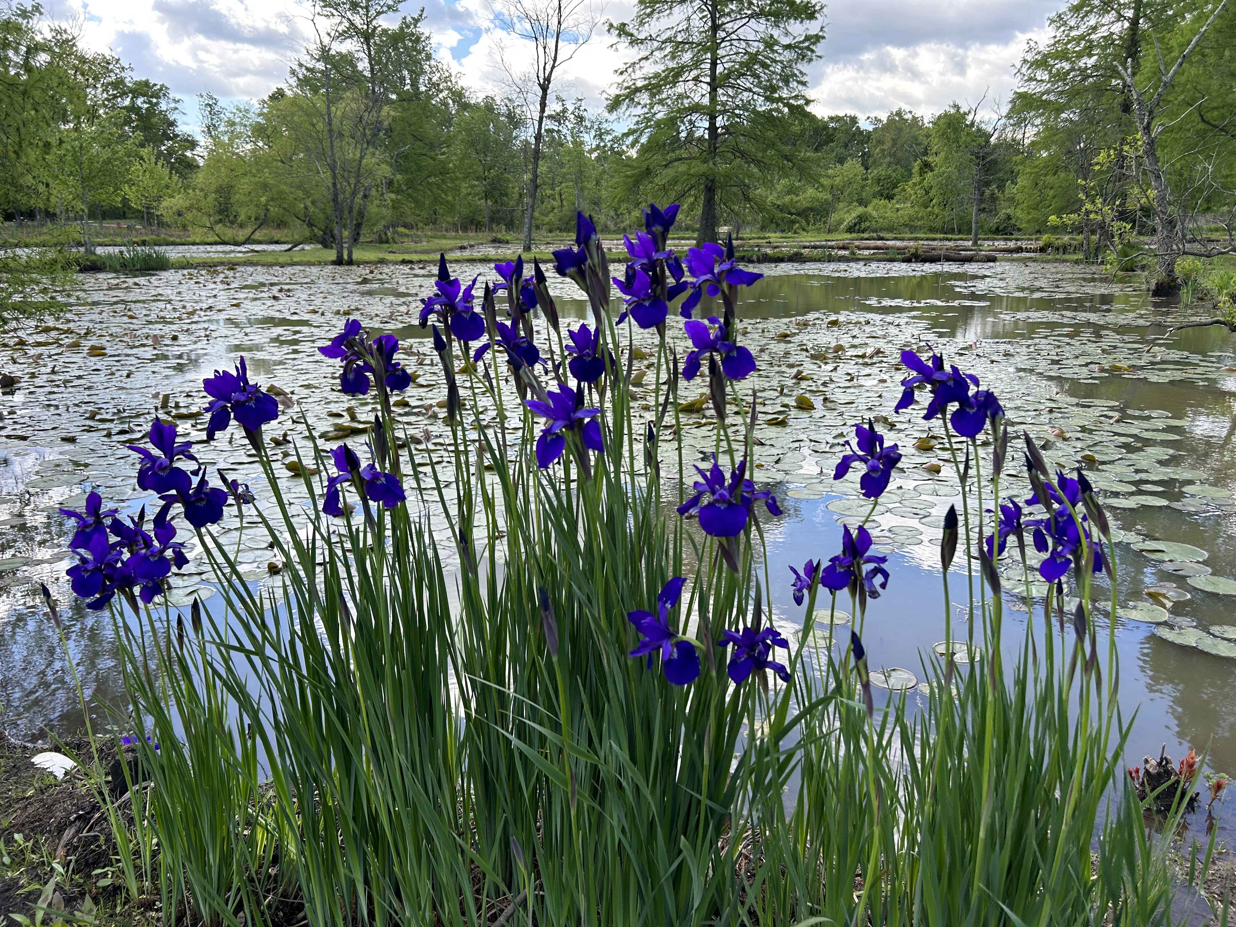
Our country is still starkly and dramatically beautiful, the high mountains, the prairies, and the salt flats. In an interview, she showed photos of prairie schooners that were still traveling by wagon in 1925. Much of her trip followed the route my maternal grandfather had taken just a few years earlier. And my route too, 100 years later in an EV, to historic sites, heritage areas and scenic spots has crisscrossed theirs.
History is a funny riddle, too often forgotten or ignored. My dad didn’t tell me enough about his side of the family, so I’m grateful to learn this chapter of Aunt Marjorie’s story. If it weren’t for my cousin, I might never have realized that we traveled the same road a century apart, exactly how my family is related to Harriett Tubman’s close friend and partner in crime you may know as Simeon Halliday, why a building at the CIA is named after Aunt Marjorie and her partner Florence Thorne (they met in 1926), how she wrote Dr Martin Luther King Jr, how she protested wars, hosted refugees and fought for workers’ rights. If we only try to remember, then once again, we will realize that we walk in the footsteps of giants.
“Hi there, neighbor. Going my way? East or west on the Lincoln Highway.”
— From God’s Country starring Judy Garland and Mickey Rooney
“I’ve been walking that Lincoln Highway, I thought you knowed. I’ve been hittin’ that 66, way down the road.”
— From Hard Travelin’ by Woody Guthrie