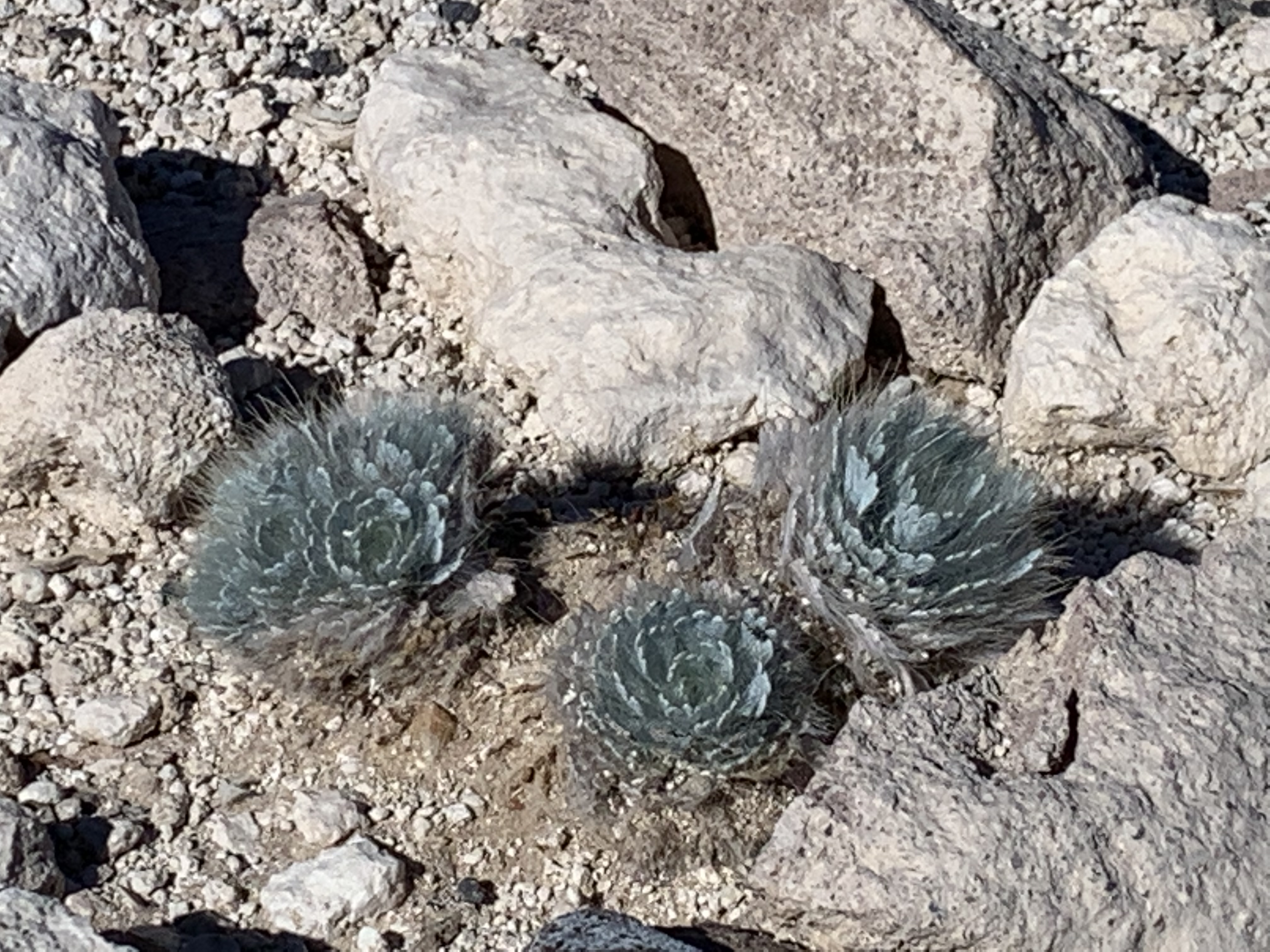
I’m pretty sure these are the endangered Las Vegas Bearpoppy with yellow flowers in spring. Endangered, because Vegas sprawl exceeds monumental. Honestly, there wasn’t much else to see in this “still in planning stage” park site. There’s a temporary 3.25 mile Alicante Loop Trail and parking on North Aliante Parkway at West Moonlight Falls Ave, but the desert is subtle in natural features. There are mats of desert mistletoe in the acacia and mesquite, but they’re parasitic plants best appreciated by the rare silky flycatcher. Despite free dog waste bags and signs, the locals use this place to let their pets run off leash and much of the brush has poop and trash stuck in it. The park extends for miles from North Vegas up 95 northwest, and hopefully they will soon be employing a ranger to protect the park from the residents and pets of the lushly landscaped neighborhoods across the street. Vegas isn’t known for keeping realistic boundaries.
I hiked out here 2 miles round trip to Spectra Point to get a view with Bristlecone Pines, so that you can tell this is not another photo of Bryce. There are a number of Bristlecone Pines here and a few more near Chessmen Ridge Overlook, although they are likely younger than some at Great Basin. By the way, if you’re looking for cedar trees, there never were any. Early visitors from back east mistakenly thought that the juniper trees were cedars, and the misnomer stuck. Cedar Breaks is over 10,000’, so it’s a step or two above Bryce, but since it extends down through and exposes the same layer of rock, it looks similar near the top. The view down the gorge looks down over 5,000’ towards also misnamed Cedar City, so you get a good look at the various layers of the grand staircase. Be careful hiking here, as high altitude contributes to vertigo. Due to the heights and erosion, there aren’t any recommended trails down from the rim, but there are a few rim trails and seven overlooks, four of which are near parking. While the road and trails may still be open, there was frost on the trail when I visited, and the roads will close as soon as it snows. The temporary visitor center and store has now closed for the season, and the new visitor center at Point Supreme Overlook is still under construction. Hopefully it’s open next year.
This view is of Bryce Amphitheater from Bryce Point in the morning. Below are the 5.5 mile Peekaboo Loop, 1.3 mile Navajo Loop, 1.8 mile Queens Garden and other trails through the hoodoos. Definitely do at least one hike, if you’re able at this altitude, or even better, book a trail ride from the lodge. I won’t ever forget the spectacular feeling of riding through a layered maze of brightly colored hoodoos with my family; it is one of the best park experiences I have ever enjoyed.
There are around 15 different trails and as many overlooks, including Mossy Cave, Natural Bridge, Rainbow Point and Fairyland Point. Carbon burners should stay home or at least park and take the free shuttle, which goes from the hotels and campground near the entrance to the lodge and the most popular viewpoints and trailheads, but, since the shuttle is not yet electric, I drove my EV around early.
Bryce Canyon is between 7,500’ and 8,500’, and it is one of the prettiest places to appreciate geology. Long story short, the inland sea dried up, the land rose and erosion created the hoodoos and the rest of the canyons in the area. Grand Canyon is the bottom of the grand staircase, Zion in the middle and Bryce near the top. The colors of the steps span from ancient dark rock, tans, chocolate, vermillion, marble, to pink and white. And, if that’s not enough, it’s easy to see mule deer and other wildlife, wildflowers and to appreciate the dark night sky.
For millennia people had been using this spring to live, grow crops and travel through, but then the Mormons built a fort and walled it off. 80% of the Kaibab Paiute population died off between 1490 and 1860, many from starvation. The Mormons also enslaved the natives, technically 20 years of indentured servitude, after purchasing them from native slavers, a practice the natives learned from the Spanish.
On this trip I saw both the Green River at Dinosaur and the Colorado River in the Grand Canyon explored by John Wesley Powell, who employed Kaibab Paiute guides. Years later when Powell became director of the US Geologic Survey in DC, a Mormon missionary, translator and expedition member named Jacob Hamblin wrote to his old friend about how the Kaibab Paiutes were dying of starvation.
“The foothills that yielded hundreds of acres of sunflowers which produced quantities of rich seed, the grass also that grew so luxuriantly… the seed of which was gathered with little labor, and many other plants that produced food for the natives is all eat out by stock.”
Hamblin to Powell, 1880
Eventually, the US government intervened and gave the Kaibab Paiutes rights to 1/3 of the water, along with 1/3 to the perpetrators who were using the fort as a hideout for ‘plural families’, and 1/3 to the federal government. Like many wrongdoers, the Mormons at the time tried to justify their killing of the natives by saying that some natives had killed two Mormons, that they were bringing civilization to the natives and that they were more productive. I wasn’t interested in the Mormon pioneer fort or the old self-serving justifications, but the historic conflict over marriage rights seemed ironic, given the 2008 Mormon campaign against gay marriage in California. In any case, the native history is fascinating and helps explain why Utah is 1% Native American and over 2/3 Mormon. There’s a garden run by the local tribe that grows the three sisters (corn, beans & squash) along with Amaranth, which was a beautiful deep purple.
Overall, Utah does an exceptionally good job in managing its remarkable natural resources, but the climate crisis allows no time for delays. Today the spring above is full of toxic algal mats that can release deadly Cyanobacteria neurotoxins, which appears to be spreading as the climate warms. Civilization is destroying life on earth, via carbon pollution, so it hardly deserves the name.
The white peak on top of the center red rock is Mount Hayden, 5000’ above the canyon floor, viewed from Point Imperial, North Rim, looking east. The Colorado River is down there somewhere, along with the Painted Desert and Marble Canyon to the left. Everyone should visit the Grand Canyon, and the grandest, widest and most awe inspiring views are from the popular South Rim. I took my family there years ago, and I’ll never forget ‘Ooh, Aah’ point, which was so windy that the name required exclamation marks of terror.
But the North Rim is more conducive to contemplation than the South Rim, because instead of development and crowds, there are bright yellow and gold Aspen forests, meadows and quieter vistas. The yellow Cliffrose was in bloom along the trail, and a large coyote crossed the road in front of me. Angels Window makes for a nice photo and has a great overlook on top. Bright Angel Point is just a few steps from the Grand Canyon Lodge, and it is one of several overlooks nearby that have spectacular panoramic views.
The season is shorter on the higher altitude North Rim, but fall is beautiful. There was wildfire damage and some smoldering burns in the Kaibab Forest, but overall the forests still look healthy. The ranger gave a talk trying to explain how difficult it is for them to respond to climate change locally, let alone nationally or globally. Logistically, my long range EV can visit the North Rim from Page AZ, where there’s a supercharger, round trip, but getting all the way out to Cape Royal would have been too far. The nearest destination chargers are at Cliff Dwellers Lodge at Lees Ferry (mean steak & eggs) and at Days Inn in Kanab Utah. I used both and continued northwest.
In the center of the alcove across the canyon is the cliff dwelling of Betatakin. Due to Covid, the five mile guided hiking tour is currently suspended, but a 1.3 mile round trip hike to the the view above is open and beautiful. There’s also normally a 17 mile permitted hike to Keet Seel, a large and well preserved village, where guided tours are also currently suspended. Navajo Nation is taking a cautious approach to the pandemic, and masks are required. Please respect their wishes and culture.
Many visitors confuse this site with Monument Valley Navajo Tribal Park, which has been featured in many western films, but that site is northwest of here and run by Navajo Nation, not the park service. This park service site is in the Tsegi Canyon area and preserves Ancestral Puebloan dwellings, culture and homeland. As well as builders, they were great traders of tools, pottery, turquoise, shells, parrots and macaws. The Hopi, Navajo, Paiute and Zuni are some of the tribes that trace their roots back to this site. The visitor center has some trade items on exhibit and a gift store.
The Bridges, so designated because water flowed through them and formed them, are much older (Permian) than Utah’s famous Arches (Jurassic). There are three main bridges to see here, each only a short hike from the scenic drive to view, and they span two canyons, Armstrong and White. The Owachomo Bridge above is over a dry creek bed and can easily be hiked under. The Kachina Bridge is at a more challenging viewing angle near the intersection of the canyons, but if you’re up for the Loop Trail hike, I bet it’s spectacular. Sipapu Bridge, second in size only to Rainbow Bridge, is named for the emergence gateway mythology common to Native American tribes. There’s an impressive view from the overlook, and if you hike and climb about halfway down and go out along a wide ledge, you can get a view from the other side, which is equally magnificent.
This is one of my favorite parks for geologic features. Unfortunately, none of the bridges were working as portals to distant past or other dimensions. The surrounding forest and beautiful canyon lands are part of the Bears Ears National Monument (managed by the US Forest Service and the Bureau of Land Management), and the mesa top buttes that look vaguely like ears from a distance can be seen from the parking lot as well as from miles away in several directions. I drove in from the east, stunned by the scenery, and then left south, where the road drops into Monument Valley. Wow.
Hovenweep Castle to the right and the Square Tower in the middle were likely part of a connected, multi-story pueblo, part of a complex of buildings surrounding this small canyon. 750 years ago, the farmers who built and lived in this castle grew corn, beans, squash, amaranth and probably cotton. They kept domesticated turkeys in the canyon and built small dams to control flash floods and enrich soil. The 2 mile round trip Little Ruin Trail is easy to follow to photograph the varied ruins from different angles.
Maybe if I had come out west here before visiting Europe, I would not have told my host family that we don’t have any old stone castles in America. This is an extremely photogenic place, and I was happy to walk the loop in the morning, before others arrived. The drive through the Canyons of the Ancients National Monument (managed by the Bureau of Land Management) and on ‘reservation roads’ is worth doing slowly.
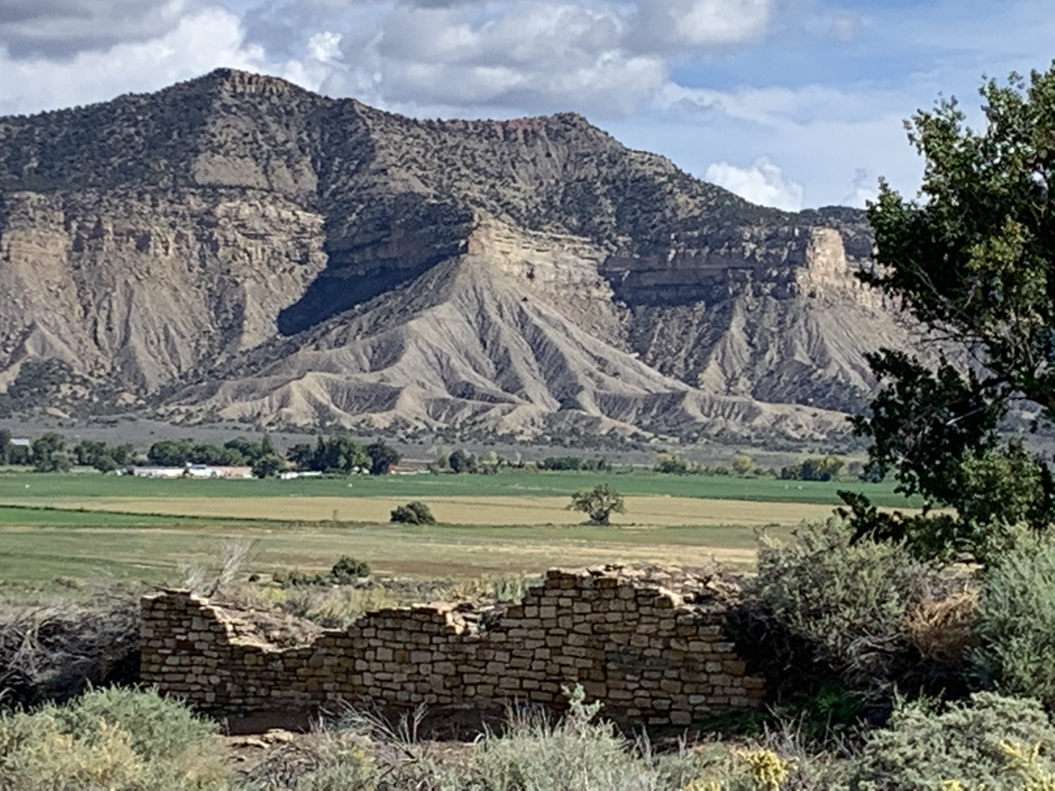
The rangers I asked discouraged me from visiting, because the reconstructed wall above and small mounds are all there is to see. But what makes this place special is that it is in the middle of the rich agricultural valley below Mesa Verde, and it wasn’t completely destroyed, vandalized or eroded away. Large pueblos, like this one with hundreds of rooms, used to be scattered across the region, but, as at Hopewell, the ones located in rich farming areas were often plowed under. This is actually one of the largest archaeological sites in southwest Colorado, recognized by researchers in the 1870’s, protected as a monument in 1919 (and by a bequest from the landowner at the request of an archaeologist) and protected unofficially by another landowner who donated an access route in 2002. Also unlike other sites, the archaeologists have mainly used less-invasive techniques in their research, saving the site for future generations.
This is Balcony House, which requires a reserved ticket, climbing cliff-side ladders and crawling though a short tunnel. It’s worth it. The dwelling is named for the intact, original balcony on the right side of the photo under two upper story windows. At other cliff dwellings across the southwest, typically only the beams remain, like those on the wall to the far left. This dwelling is also unusual for facing northeast, lacking fires in this section, and for the large flat floor with a low wall at the edge of the cliff. This place was used for important gatherings, but not in winter.
Mesa Verde is a huge, green high plateau, so start at Park Point Overlook, where you can see from Colorado’s snow-capped peaks to Shiprock, which I first saw after visiting Canyon de Chelly. From up here, you get a sense of the region as one greater community of interrelated tribes, trading and interacting with one another frequently, and not four separate arbitrarily bounded states.
This is my favorite park for cliff dwellings, so see as many as you can. The Cliff Palace is the largest in North America (reserve a ticket), and while you only walk along the bottom edge, you do get close enough to appreciate its extent and architecture. Spruce Tree House is only visible from an overlook, Long House was booked, and Step House was perfect to visit on my own first thing in the morning. The ranger talks are extremely informative, even after visiting many other Native American sites.
Finally, slow down here. The mesa has basically no Wi-Fi or cell signal (save a photo of your tickets). There are bus loads of tourists, so the few places to eat are crowded (Metate needs reservations). The Far View Lodge rooms don’t have TV, and it can be a peaceful place, if you try. My laptop finally stopped working, so I ended up sitting outside, saw a rabbit and thought long enough to reconsider my past and future. This World Heritage Site has already seen more recent devastating wildfires than they have cliff dwelling sites open to visit, so these moments in places like this are rare and diminishing rapidly.