Best Park in the southwest: Big Bend NP in Texas. It has canyons, hiking, rivers, wildlife, views and it takes at least 2-3 days to see it properly. But go around winter, as it’s becoming dangerously hot much of the year.
Best State in the southwest: New Mexico. Some of the best natural wonders and native cultural sites in the country.
Best Culture: New Orleans Jazz NHP. Get the ranger to play some of Louis Armstrong’s old trumpet recordings. And then go out, explore, eat, drink and find some live music.
Best National Trail: Butterfield Overland Stage. Although it only ran for a few years, it cuts near the Mexican border through many fascinating historic sites.
Best Native Ruins/ Sacred Sites: Chaco Culture. Tough to get to. Unforgettable.
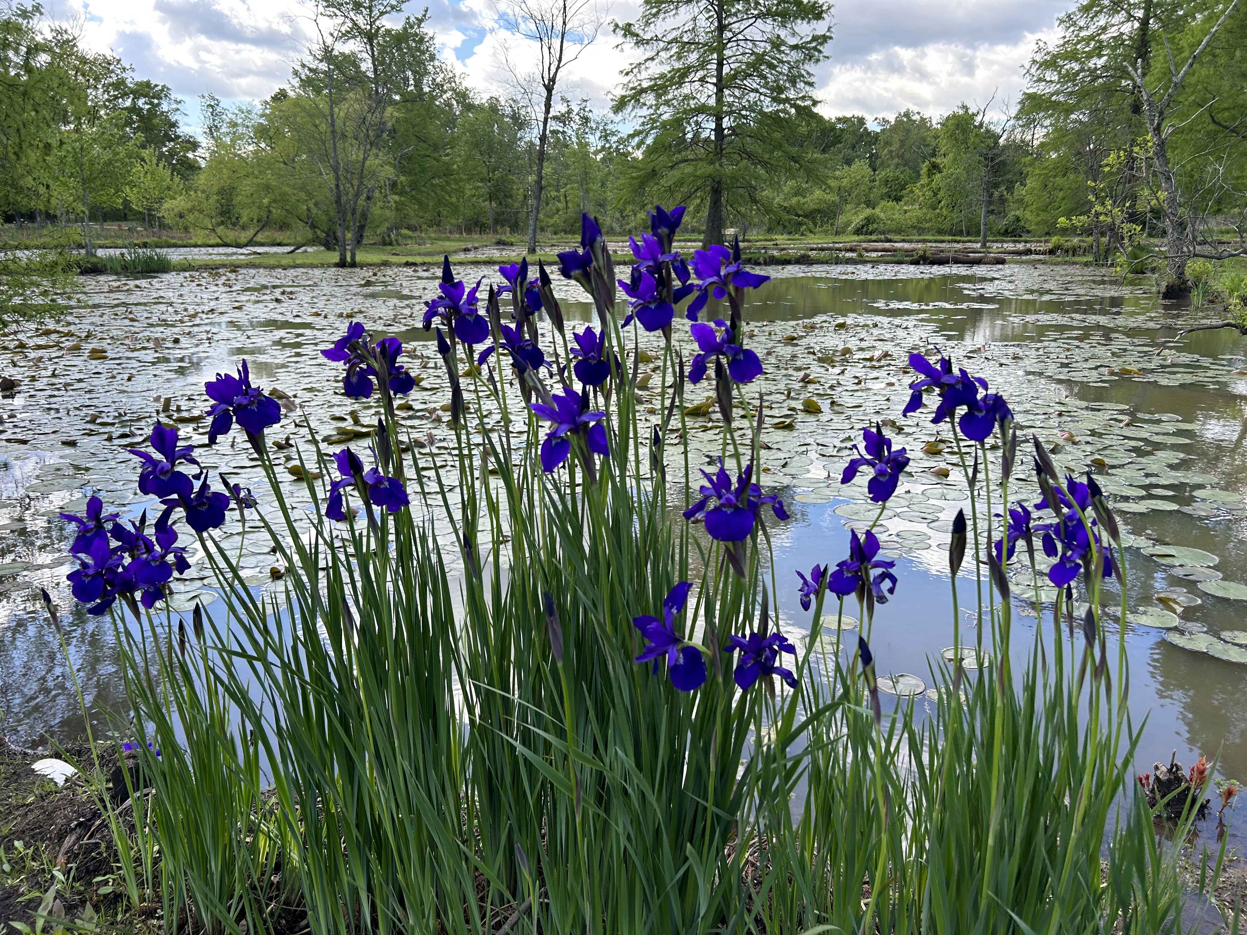
Best Paddling: Big Thicket. Slalom your kayak through the swamp. Glorious!
Best Recreation: Hot Springs NP. Take a hike or go shopping, if you like, but try to find a place to soak in the old style. Relax and enjoy!
Best Wildlife: Padre Island NS. Hike or better paddle along the shores and count the different species of birds.
Best World Heritage Site: Taos Pueblo. One of the oldest continuously inhabited places in the US.
Smoke Hole above is a canyon formed by the South Fork of the Potomac River in West Virginia. Excursion trains take visitors on various trips through the area, but there are also country roads. I drove about 10 miles along the canyon admiring the views with fall foliage, and I never saw another person. The C&O Canal and Potomac Heritage NST are also in this NHA, which extends into the mountains of western Maryland. This is a rare, beautiful, underrated spot in the US to hike and enjoy nature.
California’s Golden Age architect, Edwin Neff, designed a grand ranch, above, for King Gillette of razor blade fame, in the roaring ‘20s, who sold it to Clarence Brown, who directed dozens of successful films, including National Velvet and The Yearling. Later the property had numerous colorful owners, but eventually it was saved by conservationists who won national protection for the stretch of mountains overlooking the Pacific above Malibu. The recreation area includes state and city parks, numerous film locations, horse riding trails, scenic vistas and wildlife, not far from Santa Monica and the LA basin.
This was actually the first park I visited for this blog, on the same day I picked up my EV. But I was so upset by the devastation of Paramount Ranch after the Woolsey Fire, that I neglected to take a photo. So, since I driving by on Thursday, I decided to do this redux visit to get a proper photograph or three. The visitor center is in the old Gillette Ranch carriage house, with the horse stalls and round hayloft now an exhibit space. And if you walk up the hill, you get a grand view of the Santa Monica Mountains below.
The whole recreation area is fascinating, especially if you’re a fan of scouting old TV and film locations: the Rockford Files beachfront home/ office at Paradise Cove, M*A*S*H’s camp in ‘Korea’ and Planet of the Apes, including Zuma Beach where Charlton Heston famously dropped to his knees to curse us all.
7 trails cross the Southwest region, including 6 National Historic Trails linking multiple sites, plus a National Scenic Trail. Here’s a quick summary in case you are interested in exploring the trails in the region.
Butterfield Overland NHT passed through Arkansas, Oklahoma, Texas and New Mexico (although the photo below is near a stop across the Arizona border in Tombstone).
The Salmon River flows into the Pacific just out of sight between the headland and the beach above. The trail up here to the lower viewpoint starts at the boat launch, climbs through a lovely mossy old growth grove and crosses a few small bridges—the cascades were hidden in the brush—before reaching the meadow where a rare flower and butterfly live. There’s an upper viewpoint some 700 feet further up the hill, but I figured the closer view was better.
This UNESCO Biosphere is mostly on Nature Conservancy land, thanks to concerned citizens who rallied to protect it. Definitely needed the birdsong app: white-crowned sparrow, golden-crowned kinglet, chestnut-backed chickadee, pacific wren and a brown creeper, not to mention the usual coastal waterfowl and some raptor I couldn’t identify. Lovely spot on the Oregon coast with about a dozen other hikers on the trail on a beautiful day last fall.
Most of our border with Canada is a straight line from Minnesota to the Pacific, except for Canada’s Vancouver Island, which dips below the line. When the border was negotiated, the treaty put the border through the “middle of the channel”, i.e. the Straits of Georgia and Juan de Fuca. Except where the San Juan Islands are in the middle, and then which is the main channel becomes a matter of interpretation. San Juan Island is much closer to Victoria Canada than to the mainland, so the British claimed it. But the Haro Strait is larger than the rest of the channel, so the Americans claimed San Juan Island too. Nobody really cared much about the sparsely populated islands, until an American squatter killed a British pig for rooting in his garden. Then, both sides prepared for war.
English Camp in the northwest is lovely, set on a well protected bay amidst large oaks, hemlock, and madrona trees. Well supplied from Victoria, the British created a formal garden above, kept calm and carried on. The Americans—actually the Robert’s Rules of Order writer—built a fort on the exposed southeastern point, conducted rigorous drills and maintained strict discipline. Large flag poles were erected at both camps. At the time, the US was entering the Civil War, so the government sent General Scott to negotiate peace. Fortunately, the border dispute was settled diplomatically.
There is an interpretive center at the American camp, while the English camp visitor center was closed when I visited late last September. Regular car ferries run to San Juan Island, with pleasant views along the way. Friday Harbor is between the English and American camps, 9 and 6 miles respectively, and has nice restaurants and more.
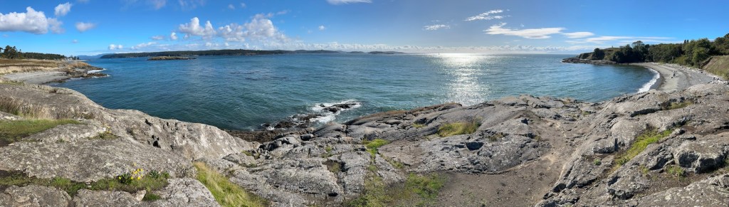
I also stopped at Cattle Point below on the southern tip which is part of a BLM National Monument protecting points, small islands and rocks in the San Juan Islands.
The view above of Clear Lake from the wishing well is beautiful. The Canadian biosphere includes Riding Mountain National Park and environs, including many ranches, homes and towns that proudly support the local species and clean environment around them.
I enjoyed a few hikes in the park, including a lovely marsh with floating boardwalks and over a dozen bird species, like swamp sparrow, black billed magpie and yellow-rumped warbler. (Love that birdsong app!)
Another hike took me to a lake near Grey Owl’s cabin, before he moved to Prince Albert National Park in Saskatchewan. He was an Englishman who reimagined himself as part Native American and who spent his life advocating for wilderness conservation, especially the beaver. Interesting stories about him. Unfortunately, I didn’t see any beaver, but I did see the moose below.
I recently completed visits to all national park units in New York and New England. Connecticut, New Hampshire, Rhode Island and Vermont each count only 1 unique park. Maine has 4, including the only National Park in the region. Massachusetts has 14, and New York has 21 unique park units, plus 2 shared with the Mid Atlantic region and 2 world heritage sites. The multi-region Appalachian and North Country scenic trails start/end in the region, and the New England scenic trail crosses Connecticut and Massachusetts. Follow the links for more, including affiliates, heritage areas and the Washington-Rochambeau Revolutionary Route.
Maine has Acadia National Park, France Perkins, Katahdin Woods & Waters, and Saint Croix Island. All four parks showcase the state’s pine woods, clear waters and scenic views, while Perkins celebrates the woman in charge of the New Deal and Saint Croix tells the story of the first French settlers. If you want to hear French spoken, you can visit the Acadian Culture partner village area in the far north, where I hiked as a boy. Mt Katahdin is also the northern terminus of the Appalachian Trail. The coastal area from Acadia to Saint Croix Island is part of the Downeast Maine heritage area, including the bridge to Campobello in New Brunswick Canada.
New Hampshire is home to the sculptor Augustus Saint-Gaudens’ studio and marvelous sculpture garden. Freedoms Way heritage area is shared with Massachusetts, and the Appalachian Trail crosses the state.
Rhode Island protects our religious liberty at Roger Williams and affiliated Touro Synagogue, and the state preserves our mill town history at Blackstone, which extends into Massachusetts within a broader eponymous heritage area. The Rochambeau Route begins here.
Gateway is multifaceted, but for me the most important part is the Jamaica Bay Wildlife Refuge above. Here there are migratory and year round birds, butterflies, trails, groves of trees and pleasant views. The contrast between the busy planes of JFK and the mute swans could not be more striking. Although the road noise limited my birdsong app, I still lost count at a dozen species. With more time, I would have kayaked around to see more birds.
But for folks interested in other things, the park includes Forts Hancock, Tilden & Wadsworth, beaches, parks and more, spread out over western Long Island, Staten Island and Sandy Hook peninsula in New Jersey. The Sandy Hook unit has miles of beautiful beaches (below with NYC skyline view) and paved bike trails to enjoy.