[Quick note: beginning next week, Thursday and Saturday posts are switching to Friday].
After January, February and March, here are my April recommendations: Bryce, Canyonlands, Capitol Reef, and the Petrified Forest. These high plateau parks are great to visit in April.
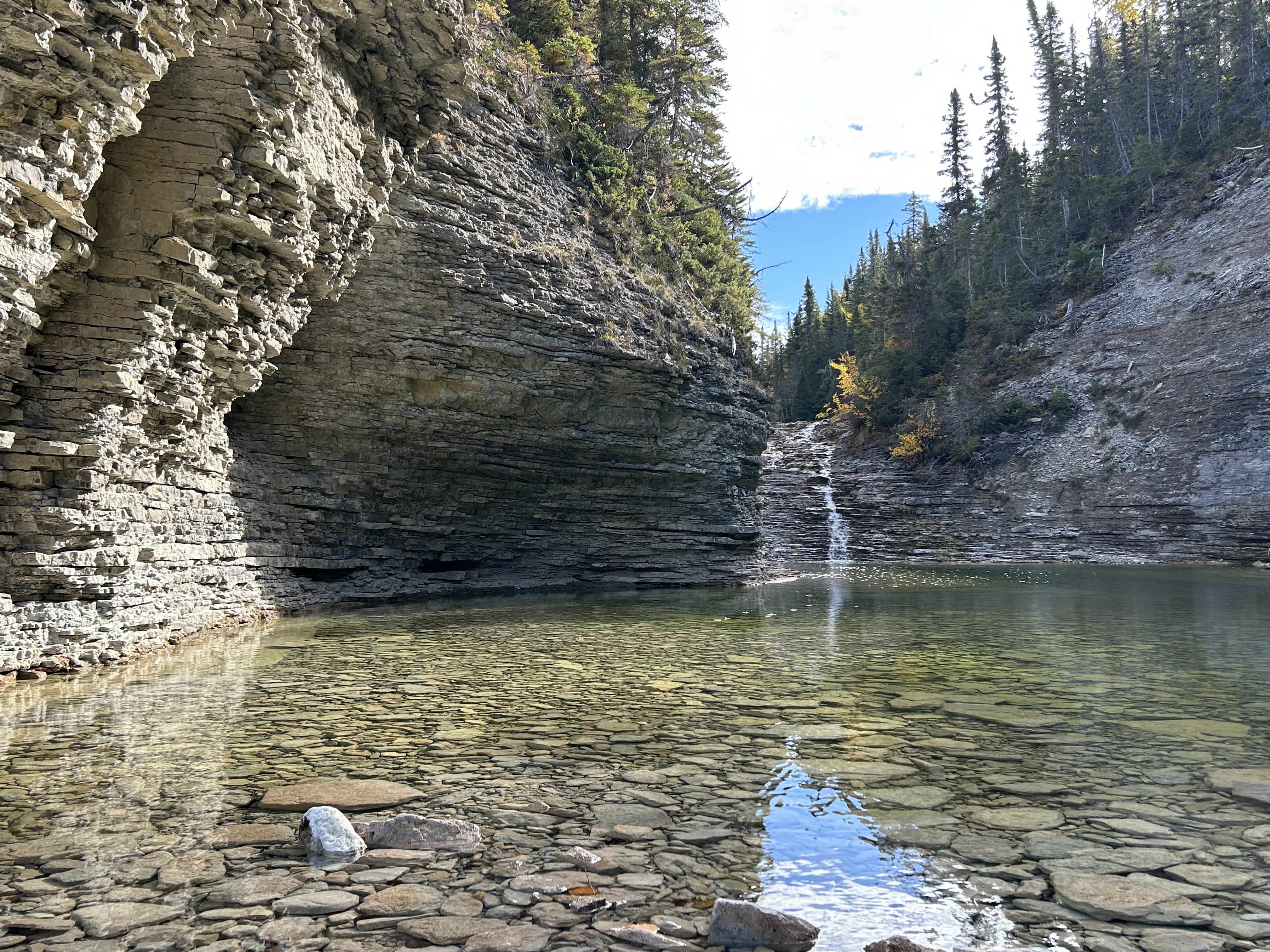
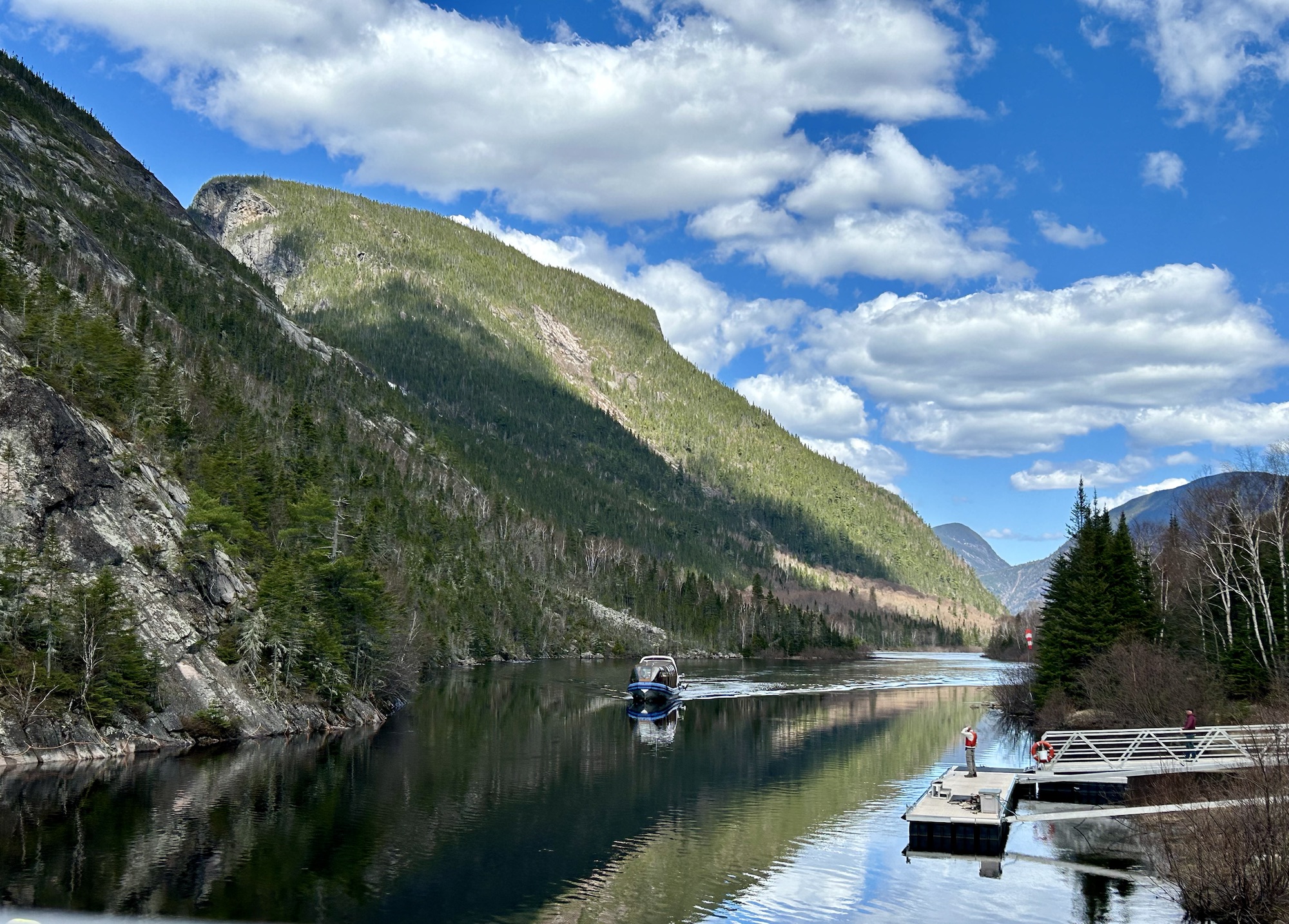
Bryce Canyon is spectacular in April with a chance of snow on the hoodoos. The best of Bryce is a horse or better a mule ride down into the canyon, and the park concessionaire starts riding tours on April 1. The canyon rim is around 8,500 feet, so late snow and leftover morning ice are quite possible. Except for a couple roads up to mountain peak lookout trails, the park opens for spring between the end of the first week and mid-April. If you are a serious hiker and want all the trails open, then I’d recommend the first half of October before the snow falls. Otherwise, I’d check the weather, wear a thermal layer and go in the second half of April, when wildlife and flowers are just emerging after a cold winter. May or September are also nice, as they are at most parks.
Canyonlands has good weather in April and has many different places to explore by bike, drive or hike. The roads and trails are often rough especially after rain, but there are wildflowers. Campgrounds require early reservations and background camping requires permits, gear and experience.
Capitol Reef has some excellent hiking in April ~65° F. There may be some rain, but that brings wildflowers. Some like visiting the orchards in fruit picking season, but I’d rather be biking here when the orchards are in bloom.
April has pleasant weather for taking photos of the Petrified Forest with wildflowers. Summer is too hot and winter is too cold. You need decent weather to hike around, and the contrast between the fossilized trees and living flowers is nice.