I recently completed visits by electric vehicle to all US national park sites primarily focused on (paid) labor issues, including agriculture, mills, mining, railroads and steel. Even more interesting than learning about dangerous early working conditions, was realizing that the worst cases of labor conflicts and disasters in our history share common circumstances. When there is excess capital with extreme time pressure to achieve returns especially in a limited geographic area, owners engaged in hyper-competition often resort to unethical, unsafe and/or illegal tactics to extract profits at the expense of their own employees.
Agriculture
After visiting one more site, I will write a separate post about slavery. Even after emancipation, agriculture continued to exploit farm labor brutally, through sharecropping & tenant farming, where workers were kept in perpetual debt to the owner. Cane River is a good place to learn how a plantation adapted to exploit farm labor in different ways from before the revolution to WWII. As black workers moved into industry after that war, agriculture began to exploit more migrant workers, especially Pilipino & Mexican workers on the west coast. National chains engaged in ruthless competition with local owners over the most productive fruit farmland in California—supported by unjust foreign labor policies—cutting labor costs to maintain profits as prices fell. César Chávez park is a good place to learn about the history and resulting farm worker strike.
Mills
Water-powered industrial mills pre-date our country, but they were refined and boomed after the revolution. The company town developed near the first cotton mills in Rhode Island and were copied at similar sites in New Jersey, Massachusetts and Ohio. Before electrification allowed factories to be built in cheaper locations, mill towns only formed in very specific places along rivers with large volume water falls near ports. This meant concentrated competition among many firms using the same techniques. Labor needed training and skilled, small fingers were more nimble than large. So, owners hired women and children. Immigrants arrived by the boat load. Supplies of cotton came from slave plantations often owned by the mill owners. The incredible boom in productivity led to collapses in prices. 70+ hour work weeks, strict control of women’s lives, economic control of labor through company housing, stores, entertainment and even churches, and child labor became used to sustain competitive advantage. Strikes, often organized by women, were oppressed with dirty tricks and pressure tactics including media smear campaigns and violence. Safety was disregarded, as seen in disasters like Pemberton Mill near Lowell in 1860 when over 100 women & children were crushed by heavy machinery or 50 years later in the Triangle Shirtwaist garment district fire.
Mining
Mines often create cruel capitalism conditions. Investors see growing demand & high prices and over-invest, funding multiple aggressive firms with similar equipment. Labor and small operators flood the area, with everyone trying to ‘strike it rich’ with the mother lode. From black lung in coal country to radiation sickness in uranium mines, owners sacrifice miner lives and crush strikes with violence and dirty tricks. (Watch “Harlan County USA”). The world’s largest pure copper lode was found and mined in upper Michigan (see photo), where at a Christmas party for striking families upstairs in Keweenaw’s Italian Hall, an anti-unionist outside shouted ‘fire’ and blocked the door: 59 children and 14 parents were crushed to death.
Railroads
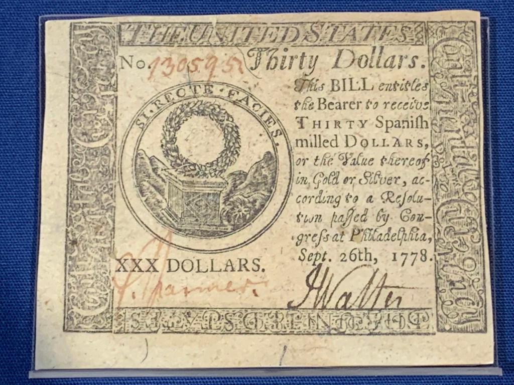
Disregard for the lives of their workers became part of the gilded age tycoon culture. Despite repeated safety warnings, the wealthy club members on Lake Conemaugh voted to raise their dam an extra two feet to avoid dirtying their hems while crossing. The resulting flood wiped out the company town of Johnstown Pennsylvania, killing over 2,200 people. Speculation on railroad stocks led to frequent booms and busts and much over-investment, with only limited lines becoming profitable. Labor was also imported from China with strict laws prohibiting settling permanently. Railroad owners faced diminishing returns, and repeatedly pressed labor for concessions, provoking a massive strike led by Pullman porters. Rather than negotiate, management bought the US Attorney General and influenced President Cleveland to bring in the troops.
Steel
The history of labor is replete with examples of class division: people of color, women, children and immigrants are systematically paid less. Capitalists can cut labor costs by keeping one group down, which they leverage to lower labor costs for all. World War II broke standard labor practices, hiring women and minorities to build ships and produce armaments, but as after other wars, many labor gains were later lost. Racism is not always understood as an economic tactic, but the history of labor and civil rights are inextricably linked. Birmingham Alabama had a hyper-competitive steel industry—as the only location in the world with significant amounts of iron, coal and limestone nearby—, and owners organized to divide labor along racial lines to lower their costs: they codified racial segregation, including prohibiting black and white children from playing together. The modern civil rights movement grew in response to racist social policies imposed by steel factory owners seeking to perpetuate a two-tiered wage system.
Lessons
Capitalism is mutually beneficial for customers, employees, owners and society. But especially when an owner is at personal risk in a hyper competitive business with diminishing returns, there is an incentive to cheat, act unethically or even commit crimes. Some capitalists use their wealth & power to corrupt government and civic leaders, influencing media and disenfranchising voters. Cruel labor conditions have persisted in this country for centuries, changing only with war, disasters, violent strikes or specific market collapse: i.e. too late.
If we learn from history, we can curb the excesses of hyper-competitive capitalism. Look for large concentrations of capital aggressively competing to dominate a single market in a short time frame. Look for extreme funding of misinformation, government corruption, efforts to divide the public and restrict voting. Hold business leaders to strict legal and ethical behavior. Then, perhaps, the next tragic chapter in our labor history can be avoided.
New Bedford Whaling National Historical Park
Why am I showing a mural of the Massachusetts 54th…

Port Chicago Naval Magazine National Memorial
At 10:15 pm on 17 July 1944, 320 people were…

Cane River Creole National Historical Park
There was a storm coming when I took this photo…

César E. Chávez National Monument
[N.B. César Chávez’s legacy has been profoundly damaged by evidence…

Saugus Iron Works National Historic Site
So far, none of the New England sites are new…

Blackstone River Valley National Historical Park
The river flows from northern Massachusetts into Rhode Island and…

Paterson Great Falls National Historical Park
While Blackstone was operational two years earlier, Paterson’s mills were…

Lowell National Historical Park
Some of the old factories are empty ruins, and many…

Cuyahoga Valley National Park
Cleveland’s mayor, the first African American elected mayor of a…

Lower East Side Tenement Museum National Historic Site
While I took the 1902 tour focusing on Jewish immigrants…

Klondike Gold Rush National Historical Park
Seattle is a fascinating city, and this park offers a…

New River Gorge National Park & Preserve
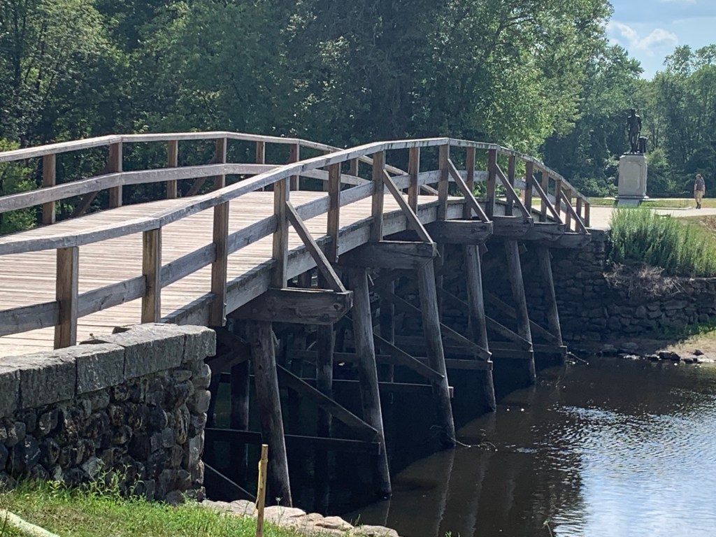
The bridge over the gorge is huge; it’s one of…

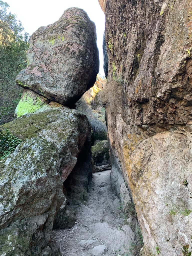
Capitol Reef National Park
The dome in the middle reminded folks of the US…

Keweenaw National Historical Park
Reports of a two ton boulder of pure copper lying…

Johnstown Flood National Memorial
150 years ago, a few of the wealthiest men in…

Allegheny Portage Railroad National Historic Site
A fascinating feat of engineering, stationary locomotives dragged canal boats…

Golden Spike National Historical Park
The two sides racing to complete the transcontinental railway actually…

Pullman National Historical Park
Railroads being perhaps the largest and most important industry in…

Rosie the Riveter / World War II Home Front National Historical Park
FDR said, “we can’t afford to indulge in prejudice now”,…

Springfield Armory National Historic Site
America has a gun problem. No other country on earth…

Birmingham Civil Rights National Monument
I had forgotten that it was a children’s march on…