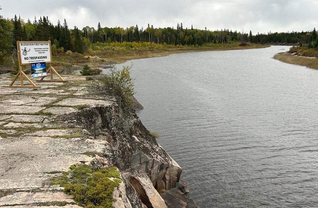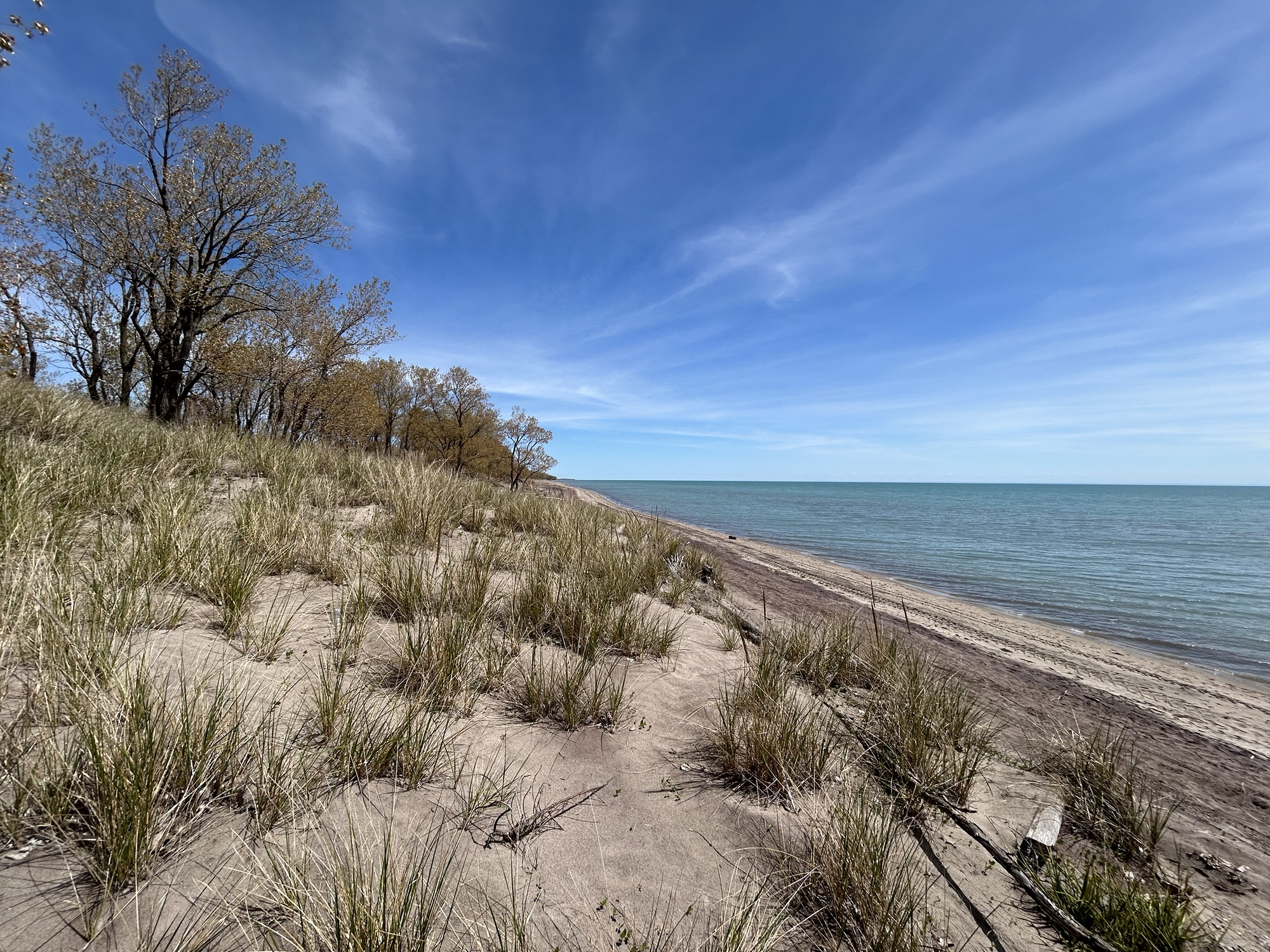
This 10,000+ square mile world heritage site in Manitoba and Ontario is over 100 miles from the nearest slow charger, and most of the road is unpaved and washboarded in some sections. That made the round trip challenging for my Tesla which no longer has the range it used to. I shouldn’t complain, as the all season road is less than 10 years old; before that, there was only an ice road. The site is both the largest protected boreal shield in North America and home to four First Nations, making it a rare dual natural and cultural UN site. Unless you hire a guide on some multi day paddling trip or stay at Loon Strait, there’s really no tourist infrastructure yet. If you want to try First Nation cuisine, I recommend Winnipeg. Still, I made it into the core area of this remote UNESCO heritage site and into the community of Bloodvein itself.
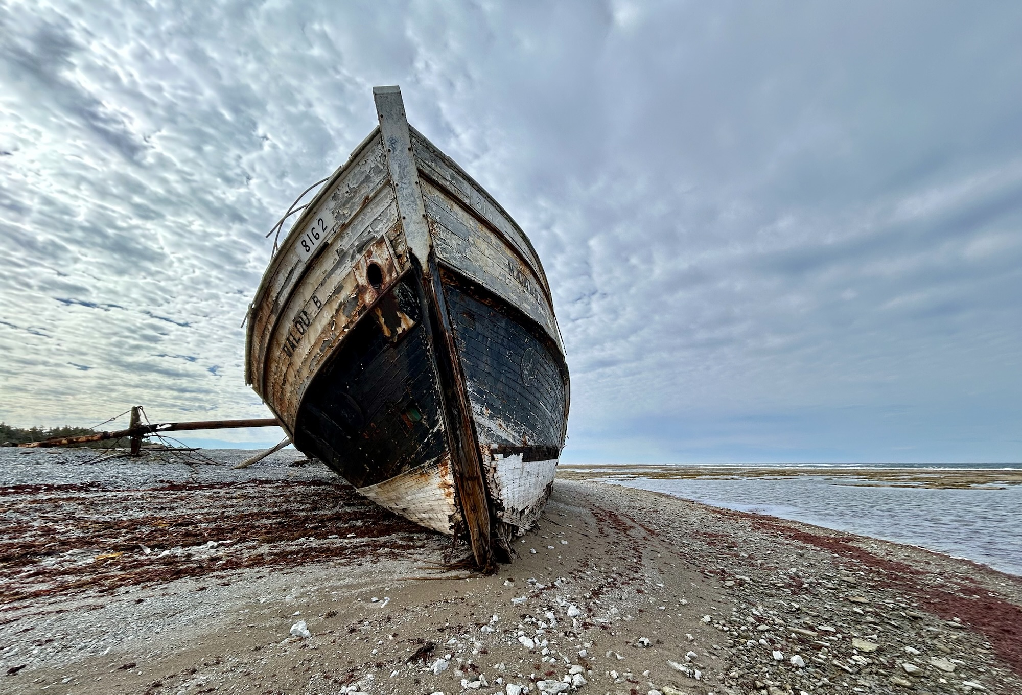
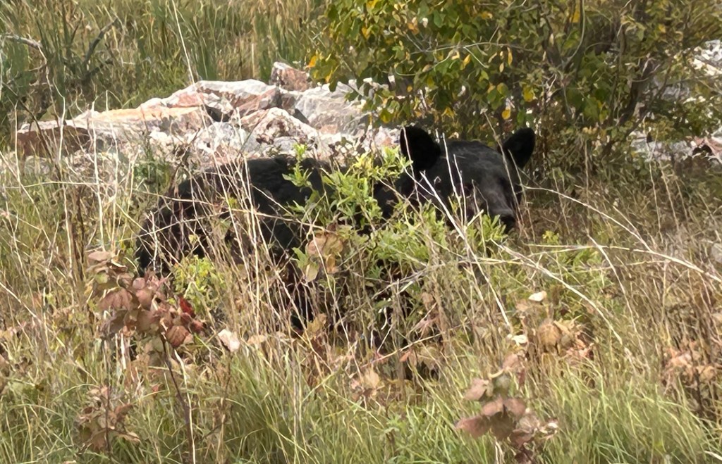
They were checking cars and ids at the gate, and they added a few questions about my travels. Just past the checkpoint I spotted a bear, and for once I managed to get a photo, above. I also saw many beaver lodges, but missed a picture of a beaver playing near a mud slide. A bald eagle flew over the Bloodvein River below, but as usual, I couldn’t get a decent picture of the majestic bird in flight. Still, three wildlife sightings in such a short visit is exceptional. I credit the First Nations community for protecting wildlife, as well as members. The road in town was very muddy that day, challenging my all wheel drive, and the coffee place was closed. On my way out, they didn’t seem impressed by my wildlife sightings, but they were interested in the range and cost to charge my car. Hopefully, visiting places like this in my EV gets more people thinking about how to lower their own carbon pollution to protect such beautiful natural areas.