While I can’t drive to Hawaii, I have visited all the other sites in the western region, including all the sites below and these national historic and scenic trails: Arizona NST, California Pioneer NHT, Juan Bautista de Anza & Old Spanish NHTs, Pacific Crest NST, and the Pony Express & Butterfield Overland NHTs.
- National Parks
- National Monuments
- National Historic Sites, Historical Parks and Memorials
- Coronado N Mem, Fort Bowie NHS, Hubbell Trading Post NHS, and Tumacácori NHP
- National Heritage Areas: Santa Cruz Valley and Yuma Crossing
- National Parks
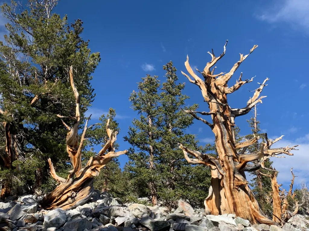
- Channel Islands ℬ, Death Valley ℬ, Joshua Tree ℬ, Kings Canyon ℬ, Lassen Volcanic, Pinnacles, Redwood, Sequoia ℬ, and Yosemite
- National Monuments
- National Historic Sites, Historical Parks and Memorials
- Eugene O’Neill NHS, Fort Point NHS, John Muir NHS, Manzanar NHS, Port Chicago Memorial, Rosie the Riveter WWII Home Front NHP, and San Francisco Maritime NHP
- National Preserves, Recreation Areas, and Seashores
- Golden Gate NRA ℬ, Mojave Preserve ℬ, Point Reyes Seashore, Santa Monica Mountains NRA, and Whiskeytown NRA
- National Heritage Areas: Sacramento-San Joaquin Delta
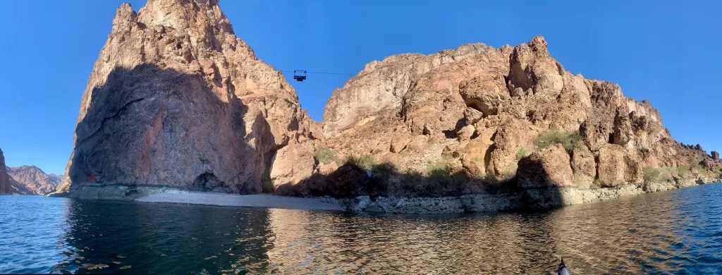
- Great Basin National Park, Lake Mead NRA and Tule Springs Fossil Beds National Monument.