Timucuan Ecological and Historic Preserve

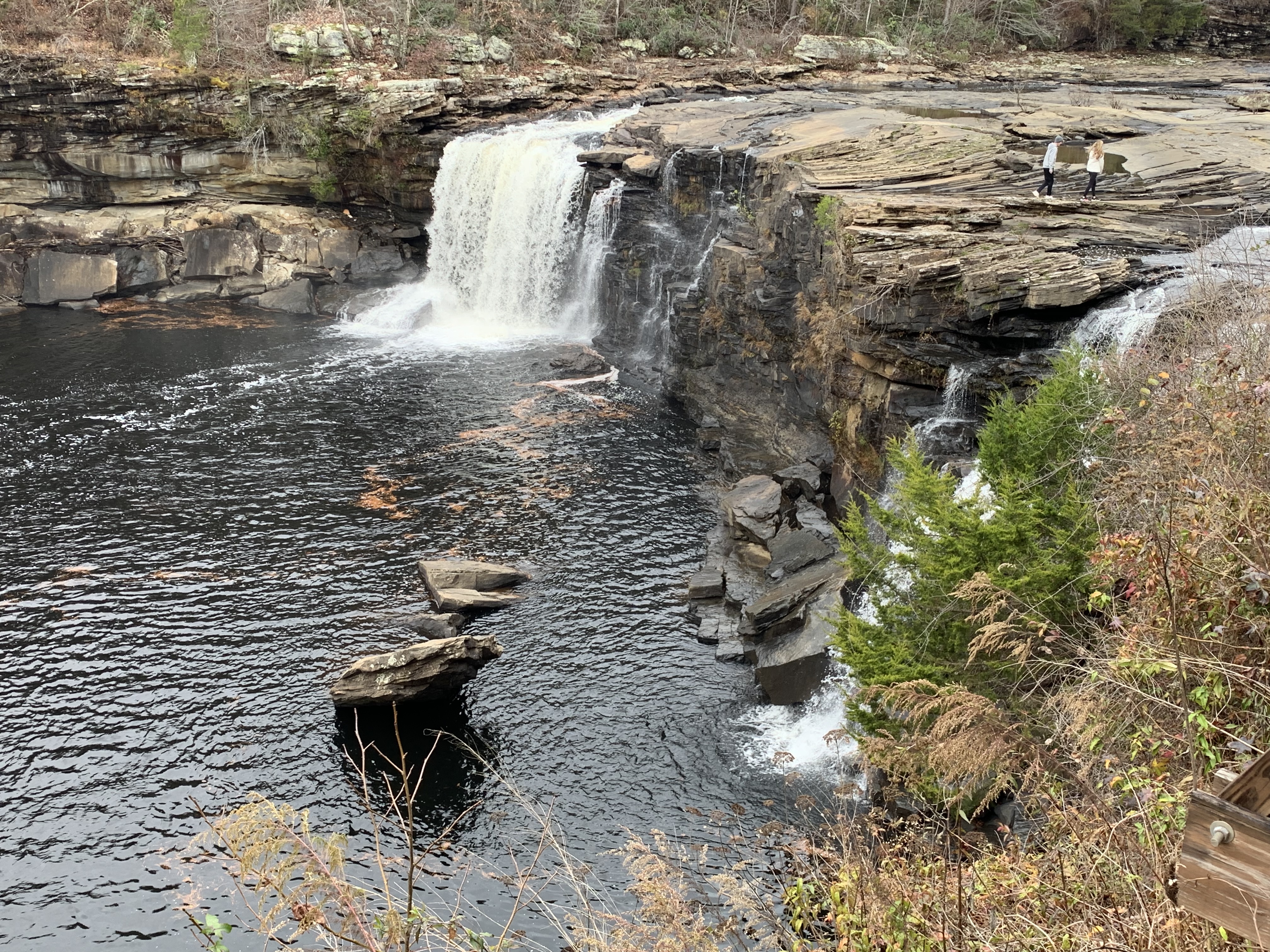
Let’s catch up on where we were in Florida, at this fascinating, multilayered site that preserves not just nature but also native, colonial and freed slave cultures. As I learned here at Fort Caroline, which hosts the visitor center for the preserve, the Timucuan people either were killed, converted or escaped to join other tribes, after contact with the Spanish. But this was once their land (and water). And at the small exhibit in the Ribault Club, a partner site & wedding venue, I learned that thousands of years ago the Native Americans built shell mounds and large, complex rings of shell structures throughout these coastal islands, some of which remain here. So the preserve does help protect Native American archaeological sites, in addition to protecting critical breeding grounds and nurseries for fish, flyways for migrating birds, habitat for endangered wildlife and the plants which literally hold the land together. I saw many different birds on my hike in the Teddy Roosevelt area (above), including wood storks.

These islands (pictured) are the southern end of these low-lying coastal delta islands that run to Moores Creek in North Carolina. The whole area is now known as the Gullah Geechee Cultural Heritage Corridor, where some African traditions and culture survived, and a unique Creole was created, called Gullah in an echo of slave roots in Angola. That culture developed separately from the mainland, since some of the first Africans brought here were free, some slaves purchased their freedom (or their children’s) from the French, Spanish & British who allowed that, and some escaped. Unlike the larger plantations in the southeast, the coastal rice, cotton & indigo sea island plantations were run more loosely, with free time allowed after tasks were completed and many families kept intact.

The complexity of slavery in Florida is revealed in Anna’s story. She was born as Anta Ndaiye, a Senegalese royal, but was captured and sold into slavery at age 13. She was purchased in Havana in 1806 by a planter and trader who promptly impregnated her and brought her to Florida. Five years and three children later, the planter granted freedom to her and her biracial children. Florida was Spanish at the time, and she received her rights under their law. Her nominal husband owned other properties (and had other wives), so he left the management of the plantations near here to Anna. When US rebels tried to seize their property, she burned the plantation and was rewarded with new property by the Spanish. Anna ran the Kingsley plantation here for 25 years, overseeing 100 slaves. Her fourth child was born free. After Florida became a US territory, new laws were passed making interracial marriage illegal and jeopardizing the rights of Anna and her children. So her husband moved the family to Haiti, which had been free since the end of their revolution in 1804. After her husband died, Anna returned to the US to claim her inheritance, which was contested by her husband’s sister, who argued that Anna couldn’t own property in Florida. Anna argued that she was Spanish, since she had been recognized by the Spanish government as free (and a hero) and noted that the US government had promised to protect the rights of all Spanish citizens under the Florida treaty signed by John Q. Adams in 1819. Anna won. She fled to New York for the duration of the Civil War returning to Florida afterwards.

“To deny people their human rights is to challenge their very humanity.”

Nelson Mandela

Potomac Heritage National Scenic Trail

[When planning my trips for next year, I realized I skipped my September visit here. Sorry it’s out of order.] The kayakers have the best views of Great Falls, and they helpfully show the scale. The falls themselves are rated V+, meaning lethal, but there are less dangerous sections of the Potomac nearby. From the C&O NHP right across the river, it’s a 30 minute drive to get over here to the Virginia side of the falls. There are miles of beautiful hiking trails along the river with many deer that are used to people.

The PHT proper is on the Virginia side from above Great Falls down to Prince William Forest with the Mt Vernon Trail in the middle. But the broader PHT also includes the Potomac River itself, the C&O, Laurel Highlands (between Johnstown & Fort Necessity), the Great Allegheny Passage, the Civil War Defenses Trail in DC, the Mt Vernon Trail and the Southern Maryland & Northern Neck PHT Bicycling Trails on both sides of the Potomac. While I plan to visit more of those next year, it occurred to me that I may have already seen the most scenic section above. So, in case I don’t have enough time for a longer paddling & bicycling trip between Pennsylvania and the Chesapeake Bay, consider this my official park visit.

Little River Canyon National Preserve

One popular question is itinerary planning, which is essential, although my plans never survive contact with the road. The same trails must be picked up again in different seasons, and inevitably, they retrace the steps of early Americans. The old hunting grounds, early trade routes, forts and battlegrounds often overlap in places like this, and, especially when they’re preserved in a more natural state, it’s easier to imagine those who came this way before us.

After their long history of interacting with the Spanish, French and British in the southeast, five tribes had become accustomed to European ways enough to be called “civilized”: the Choctaw, Chickasaw, Creek, Seminole and Cherokee. But the US government forcibly removed them to Oklahoma anyway. Most crossed the Mississippi near Memphis, as I did. The Cherokee were split into three groups: the old settlers who moved west before the removal, those forced to walk the Trail of Tears, and those who escaped removal and still live east of Great Smoky. Here, at a natural crossing point through the canyon palisades, the couple in the photo above walk on the Trail of Tears, near where Cherokee families were rounded up into a wooden palisade known as Fort Payne.

The park helps preserve that history, although the primary mission is to protect the many species that live in this important nature sanctuary. The canyon is known among rock climbers for the challenging cliffs, and if you hike downstream there’s a swimming hole near Martha’s Falls. The river isn’t runnable by amateurs, so stick to the scenic drive along the rim, admire the views from a half dozen overlooks and try not to miss the peak foliage like I did. The road isn’t wide enough for both bikes and cars, and, as usual, the former lose out. There’s a park film at the friendly visitor center and an Ol’ Tymer’s BBQ nearby.

Time for me to get back on the road. I passed through Muscle Shoals on my way here, but now I have Georgia on my mind. Places like this are bittersweet, when you reflect on the past or consider the future, but that’s what enriches travel. And our choices make a difference too. Supporting Native American businesses, for example, seems the least we should do to recognize past wrongs. And unless we stop our carbon pollution, these small sanctuaries will prove insufficient to preserve diverse species for any who may follow us.

Appalachian National Scenic Trail

It was hiking on the trail in New England as a boy that I got the idea to visit as many national parks as I could. Some of the counselors were discussing their trail names and talking about the best natural places to visit in the country. I never forgot that feeling of walking deep into nature, exploring, seeing wildlife, jumping into a swimming hole and imagining traveling to even more beautiful places. It took a long time, but I’m finally fulfilling part of that dream.

I don’t know if I have it in me anymore to hike the whole trail, but I would love to try. The relief map (above) in the park-partner Appalachian Trail Conservancy visitor center in Harpers Ferry gives you a sense of both the distance and the many mountains that must be summited. But I wasn’t about to take a gas-polluting bus to get from the Harpers Ferry visitor center parking lot into town, especially when I could walk a couple miles of the AT to get there. And I would recommend hiking the trail, even just a small section, if you can. For the adventurous, the expert suggested thru-hiking the trail in two sections, from Harper’s Ferry in the spring north to Katahdin in Maine and then from Harper’s Ferry south to Springer in Georgia in the fall.

Below, I’ve listed the units either on or next to the trail.

George Washington Memorial Parkway

The green parkway along the Virginia side of the Potomac River (islands are DC) connects Riverside Park, the Mount Vernon Trail, Belle Haven Park, Daingerfield Park, Roaches Run Waterfowl Sanctuary, Gravelly Point, the LBJ Memorial Grove, Lady Bird Johnson Park, Theodore Roosevelt Island, and Turkey Run Park, so get out of the car frequently. I barely caught the Great Blue Heron flying under my footbridge, so keep your eyes open too. Great Falls on the Virginia side is a unit of this parkway park, but it’s part of C&O on the Maryland side.

City of Rocks National Reserve

I think the best way to explore here is to camp. Many of the most interesting rock formations are steps from the primitive campsites and the best views are after dawn and around sunset. I spent a quiet night here imagining what the California Trail settlers thought as they camped nearby. The hard granite offers many handholds and steps for novice scramblers. Of course, the site is also popular among technical rock climbers who can prep on Practice Rock before working their way up to more challenges.

Blue Ridge Parkway

A couple of elk were crossing the parkway, and I managed to take a quick photo. As I slowly started to pass, trying not to scare them, the complete idiot behind me decided that would be a good time to pass me on the right, inches from the elk, practically pushing them away into the woods. Who hates mega fauna that much? So I decided to demonstrate what instant acceleration looks like in a Tesla, and I never saw him again.

The parkway isn’t the fastest way to get anywhere. My navigation kept telling me to get off and take a straighter road, so I turned it off. Anybody who is in too much of a hurry should take another route. It winds along the ridge line from Great Smoky through North Carolina and Virginia to Shenandoah, and it is delightful. I saw some kind of light pink rhododendrons blooming along the wet ridge rocks above 5000 feet. I think Catawba, named after a local Native American tribe, or maybe Vaseyi, named after the famous botanist who discovered them 150 years ago. The former would be early, but it’s unseasonably warm now, due to the climate crisis.

The parkway is best enjoyed at leisure or in segments, and people who don’t care about nature should avoid it.

Natchez Trace Parkway

The “trace” or trail from Natchez to Nashville is now a parkway, under strict protection of the park service which limits development. The National Scenic Trail, also a park unit, has miles of hiking & equestrian trails along the way. I’ve more or less driven the length now, with lots of side trips to nearby sights, and the dense spring foliage is beautiful, soothing and seems endless.
The first stop traditionally is at Mount Locust pictured above, and the route was typically used northbound, returning by boat. The trail is far older than our country, as French fur traders followed Native American trading routes that had been used for thousands of years. After the steamship was invented, most people stopped walking, which put an end to the proprietor’s lucrative business of selling whiskey, food and basic shelter at the ”stand” or simple roadside inn.

We tend to see history as inevitable, and don’t often think about what might or should have been different. But the people back then were constantly trying to learn, make changes and adapt. The land in the photo belonged to Native Americans, then was claimed by England, then by America, then worked by slaves who turned sharecroppers, and is now run by the park service. At each transition there was loss and opportunity. Only fortunate and adaptable people made it through turbulent changes. Injustice was resolved by war. No success or failure was inevitable. In hindsight, better choices could and should have been made.

I need to believe that we’re capable of learning, making changes and adapting. Dramatic change is inevitable, common behaviors suddenly become unthinkable, and those who can’t change usually suffer most. The extent of damage from the climate crisis has not yet been determined. Not all the coming extinctions are inevitable. The actions we take today make a difference to our future. We must stop burning carbon now, no matter how inconvenient, and we must prepare for the coming challenges.

Jean Lafitte National Historical Park and Preserve

This is a large, multi-purpose, multi-unit park. On a previous visit I visited one of the Acadian (Cajun) cultural centers and the 1815 Chalmette Battlefield (read the pirate Lafitte’s story here), so this time I figured I should see the swamp at the Barataria Preserve. I didn’t see any alligators, but the ranger said they were probably under the boardwalk. He also said I might find one if I went on a more remote trail, explaining logically that no tourists had returned from that section today.

Folks around here are under a lot fewer illusions about the Climate Crisis than other places, out of direct experiences. The signs were more blunt than in other parks, explaining that the beautiful ecosystem above is being killed by rising oceans. If we had time to adapt, then we could learn techniques for dealing with storm surge, flooding, etc. But it doesn’t seem like enough people care.