George’s great grandfather owned 10,000 acres of Virginia tidewater. The three places Washington lived before he became a national figure were all managed by private foundations, but now the park service runs his birthplace where he lived until he was 3 or 4. There’s a small site in town that covers his boyhood. And then there’s the very popular Mount Vernon site, with living history and the beautiful original home restored to how it looked when George & Martha lived there. The tours at Mt Vernon are in depth and excellent, but this site is quiet and peaceful.
Both George & Martha inherited slaves before their marriage, and many of them had families together at Mount Vernon. The slaves they owned when they died (mostly George’s) were freed around 1800, but Martha’s slaves reverted to a male heir and wound up at Arlington House, where they worked for Robert E. Lee, until freed by that heir’s will in 1862. If only George could have used his office to free all the slaves, he could have saved Martha’s slaves from broken families and generations of more misery and also averted Civil War. One descendent of Martha’s slaves nevertheless saved important artifacts of George Washington’s life when the Union took Arlington House.
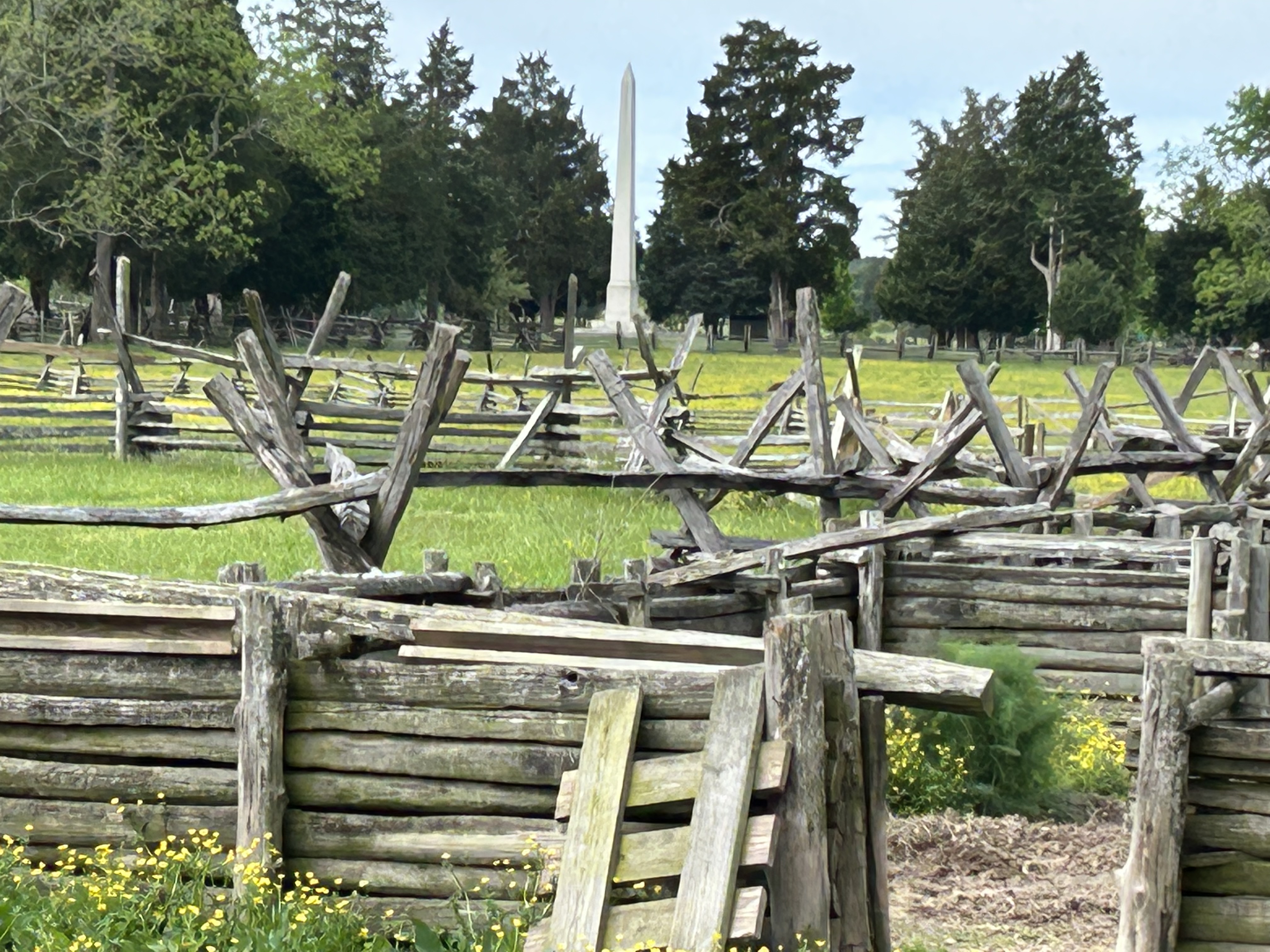
George’s birth site doesn’t get as many visitors as Mount Vernon upriver, but it is beautiful and educational. The old park film is still good, and the hiking includes a lovely 1 mile nature trail near the shore. The buildings are from the wrong era, so I skipped the inside tour. The obelisk above was moved to the entrance at a time when they realized that they didn’t know exactly where George was born on the site, but the park service has now found the foundation of the house that was here at the time of his birth. They’re still deciding how to present or restore it, but in the meantime enjoy viewing the fields, farm animals and the Potomac.