The bridge over the gorge is huge; it’s one of the highest in the world and the largest single arch bridge in the western hemisphere. I took some nice pictures of it, when I drove the old Fayetteville Station Road and crossed on the old one lane bridge. Some of the commercial raft trips end there, and it’s fun to watch them take their last rapid. The most crowded part of the park is the Canyon Rim Visitor Center near the bridge, where many folks stop to have ice cream or picnic.
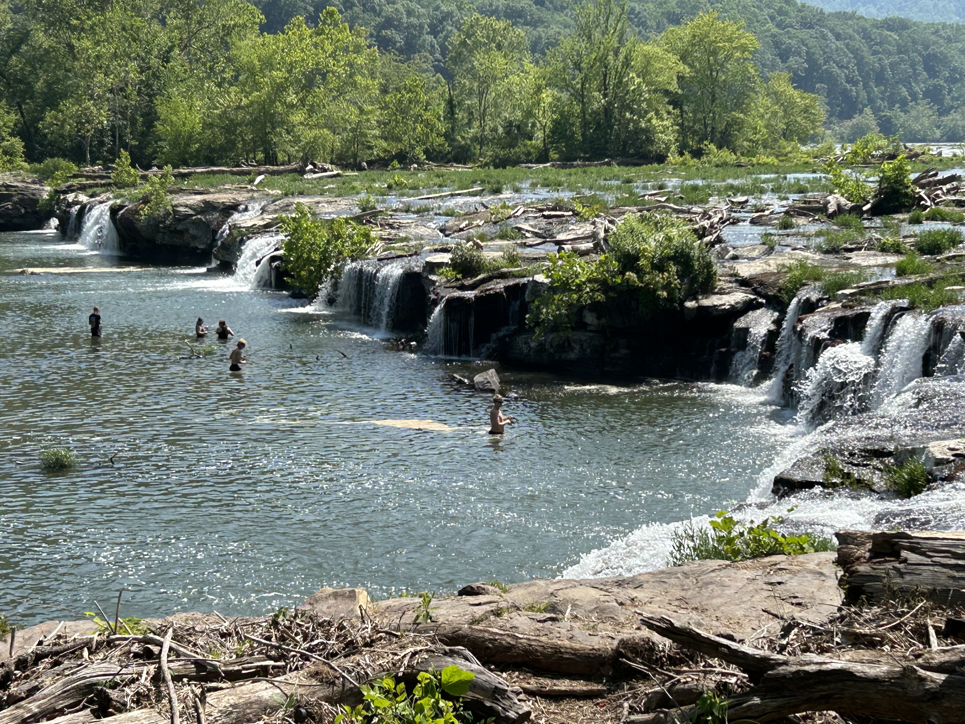
But the bridge is not the point of the park. The New River watershed is huge and very old. It starts in North Carolina near the Blue Ridge Parkway, includes the Bluestone and Gauley scenic rivers, and flows up to the Kanawha which is a major tributary into the Ohio River. The photo above shows folks fishing at Sandstone Falls, far upstream of the famous bridge. It’s a lovely spot with plenty of birds, an easy hike and a boardwalk.
The point is that the whole area was ruined by coal mining. This was the land of John Henry, if you know the old song about a railroad tunnel dug here. Now coal is more expensive than renewable energy, and many of the mines here have closed, becoming ‘exhibition mines’—fascinating tour in Beckley—, historic sites or slowly forgotten. A few coal trains still run through the gorge, but the park is now protected and recovering. Tourism generates more income and jobs now, and West Virginia is one of the most beautiful states in the US. The park is proof that we can change and improve. The point is that we can choose to save nature, instead of destroying it, and that it’s never too late to start trying.
Well every Monday morning
—A folk song
When the bluebirds begin to sing
You can hear John Henry a mile or more
You can hear John Henry’s hammer ring, Lord, Lord
You can hear John Henry’s hammer ring