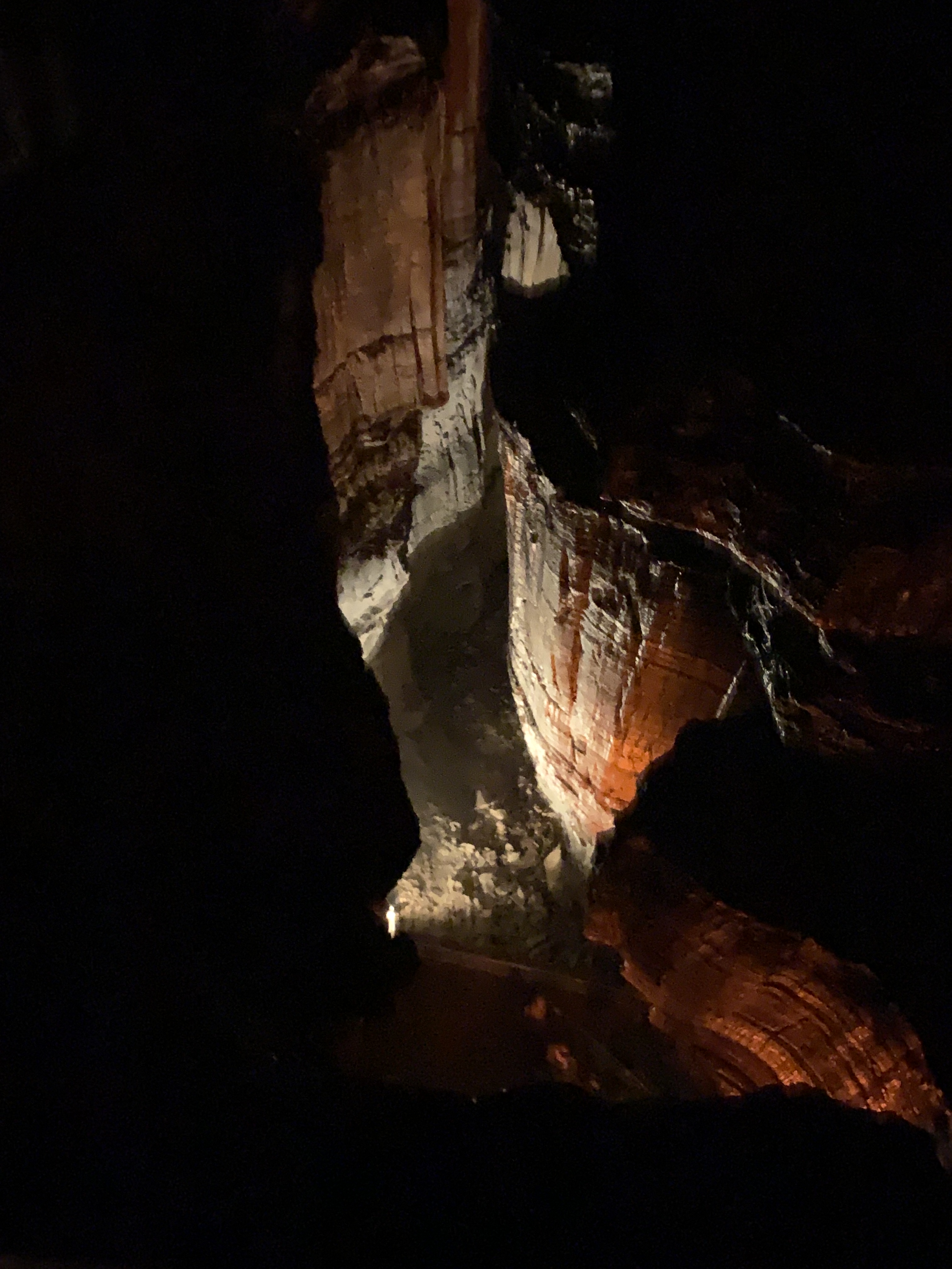
Santa Elena Canyon, like many of the sights here, is majestic with 1500’ cliffs, with Canyon Wren staccato song echoing back and forth, and elusive beavers hiding along the banks. The Rio Grande enters the park through here, departing through Boquillas Canyon. They don’t make it easy to get a river pass, apparently preferring guides. I wasn’t allowed to kayak without two PFD’s?!? But the views from the trail are spectacular.
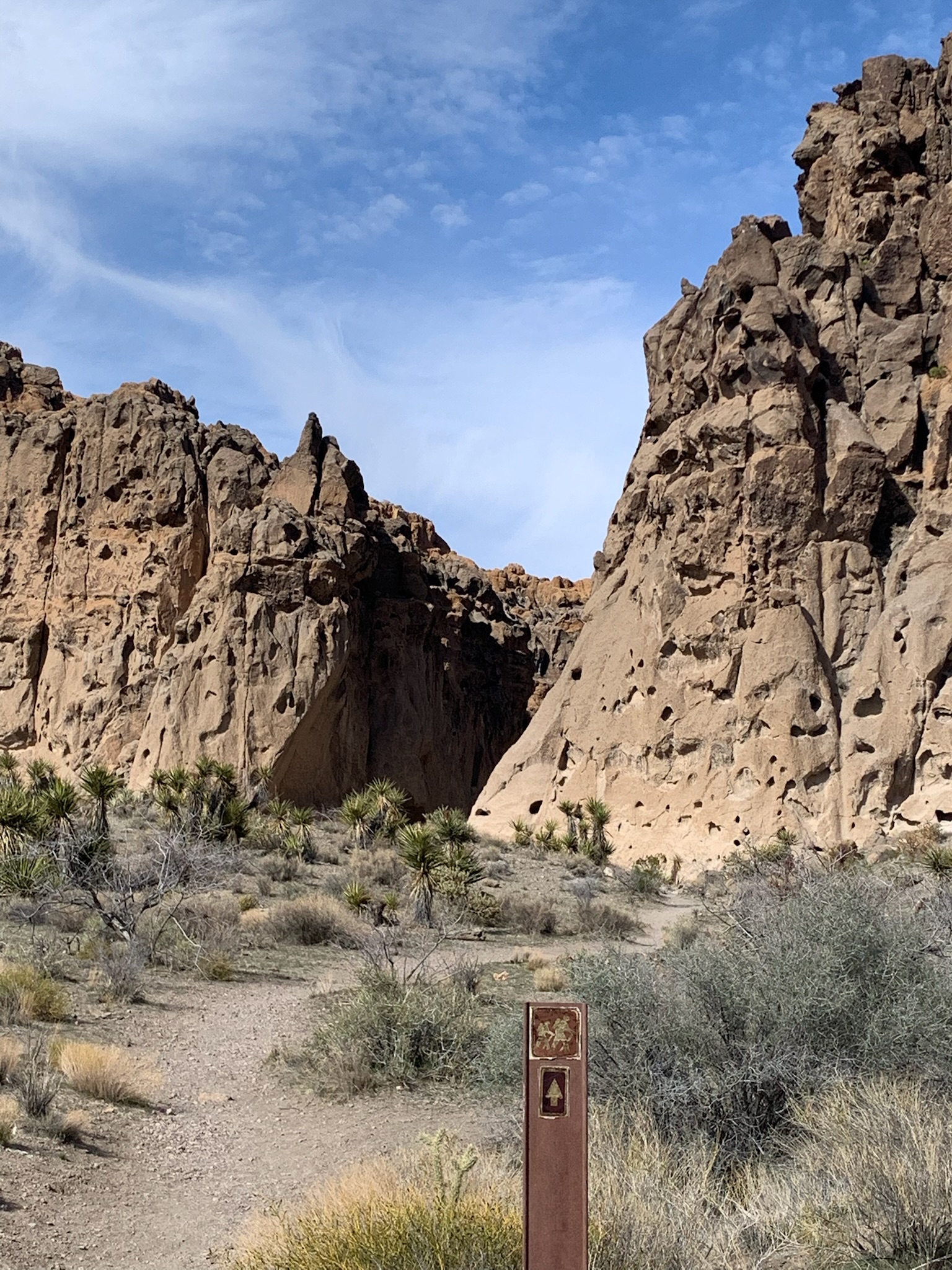
The middle of the park is dominated by the chiseled Chisos Mountains which have impressive wildlife including bears, mountain lions and rare birds, challenging hikes and a good restaurant. And the views stretch for miles in all directions across desert, scrub, dry creeks, gullies, plateaus and rocky outcroppings of all shapes to more distant hills, mountains, mesas and empty space. Sunset is best from up here, and the lodge has a bar and large patio with a great view of the basin. There are some ranger activities each week, but mostly you’re on your own out here, with terrain, heat, wildlife and distances that make hiking potentially dangerous. So take care.
A trip here needs 3 days just to visit all four corners, and there’s only one electric campground (Rio Grande Village RV) which was booked solid. Still, I was determined to avoid burning carbon, so no guided tours. I charged outside the park at the classy Gage Hotel and in Terlingua, at a Juicebox behind a brick wall in a construction site that rents Jeeps. I spotted three other Teslas and a Volt in the park, but you need to be thoughtful about charging (and not forget your hotel key and have to drive back to return it). I needn’t have worried. Since the park speed limit is 45, my range was better than expected, especially after turning off the climate control and opening my windows.
People are seriously damaging nature, as seen in both the devastating 2019 Castalon Wildfire, which destroyed the historic visitor center and store, and the drastically reduced water volume of the Rio Grande. Large gas vehicles with bad mpg should be named “Chevy Smoker” or “Ford Smog” and their drivers need bumper stickers like “I ❤️ Wildfires” & “I ❤️ Hurricanes”, because that’s what they’re exacerbating. Folks who live in western communities with golf courses, water features and ornamental plants, should name their neighborhoods “Wildlife’s End” or “Extinction Junction”, because they’re diverting rivers from our public parks, destroying ecosystems. Too many folks live in denial of the Climate Crisis, while driving a ‘Denali’ and living in ‘Ocotillo’. If you’re still using wasting gas and water in the west, then you shouldn’t pretend you like nature. You obviously don’t care enough.