My grandfather used to tell us to travel to Canada before going to any other country, because it has both wonderful nature and culture. Growing up in New England with Canadian relatives, we perhaps took Canada a bit for granted, not crossing the 500 mile border into Quebec as often as we could. Now, after having been to 6 continents and ~50 countries, I take my grandfather’s words more to heart. Quebec is Canada’s largest province and has three world heritage sites and four biospheres. The official language is French, but folks went out of their way to translate for me.
World Heritage Sites
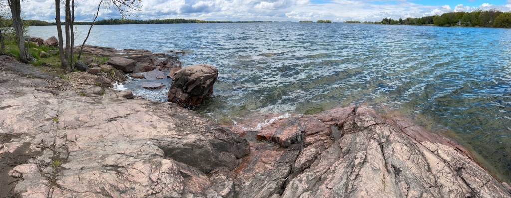
Anticosti is a large island deer hunting reserve with many rivers and important fossils. Take the ferry and an island tour to see the many sights and wildlife.
Miguasha is an important fossil site with a very good museum and a nice hiking trail through the woods along the coastal bluff.
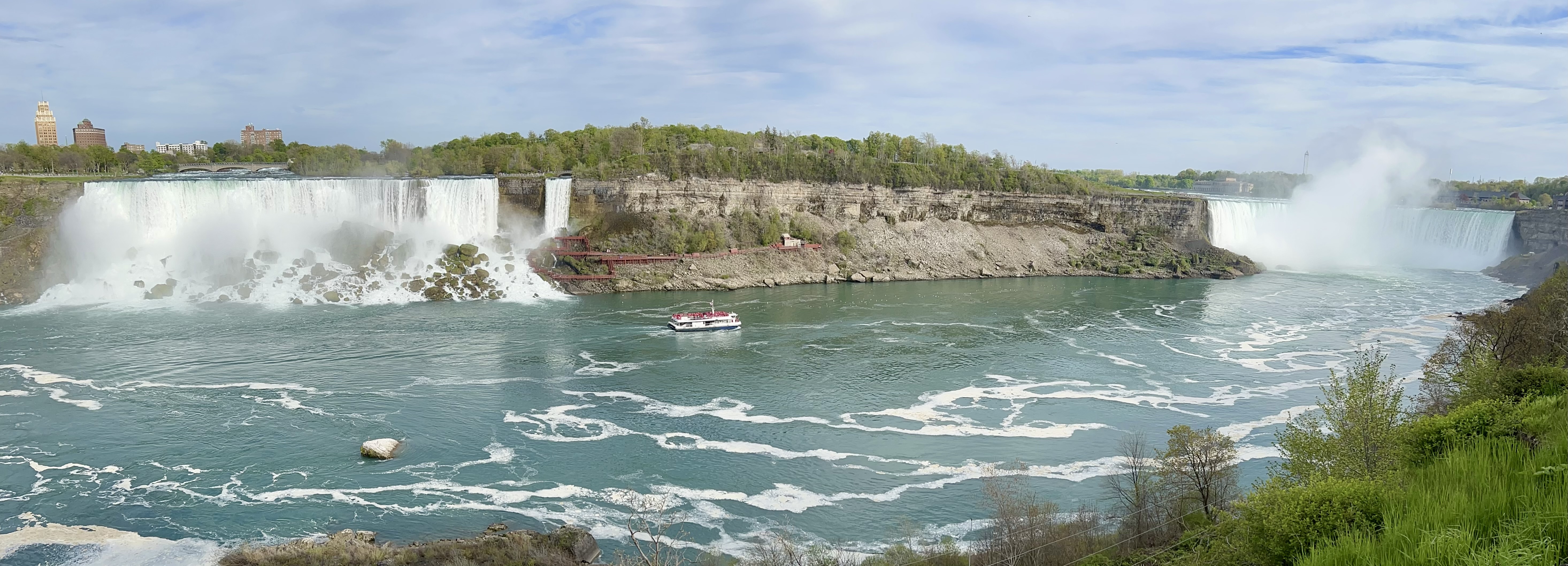
Old Québec is magnificent! In the largest walled city north of Mexico, explore the museums, parks and French restaurants.
Biospheres
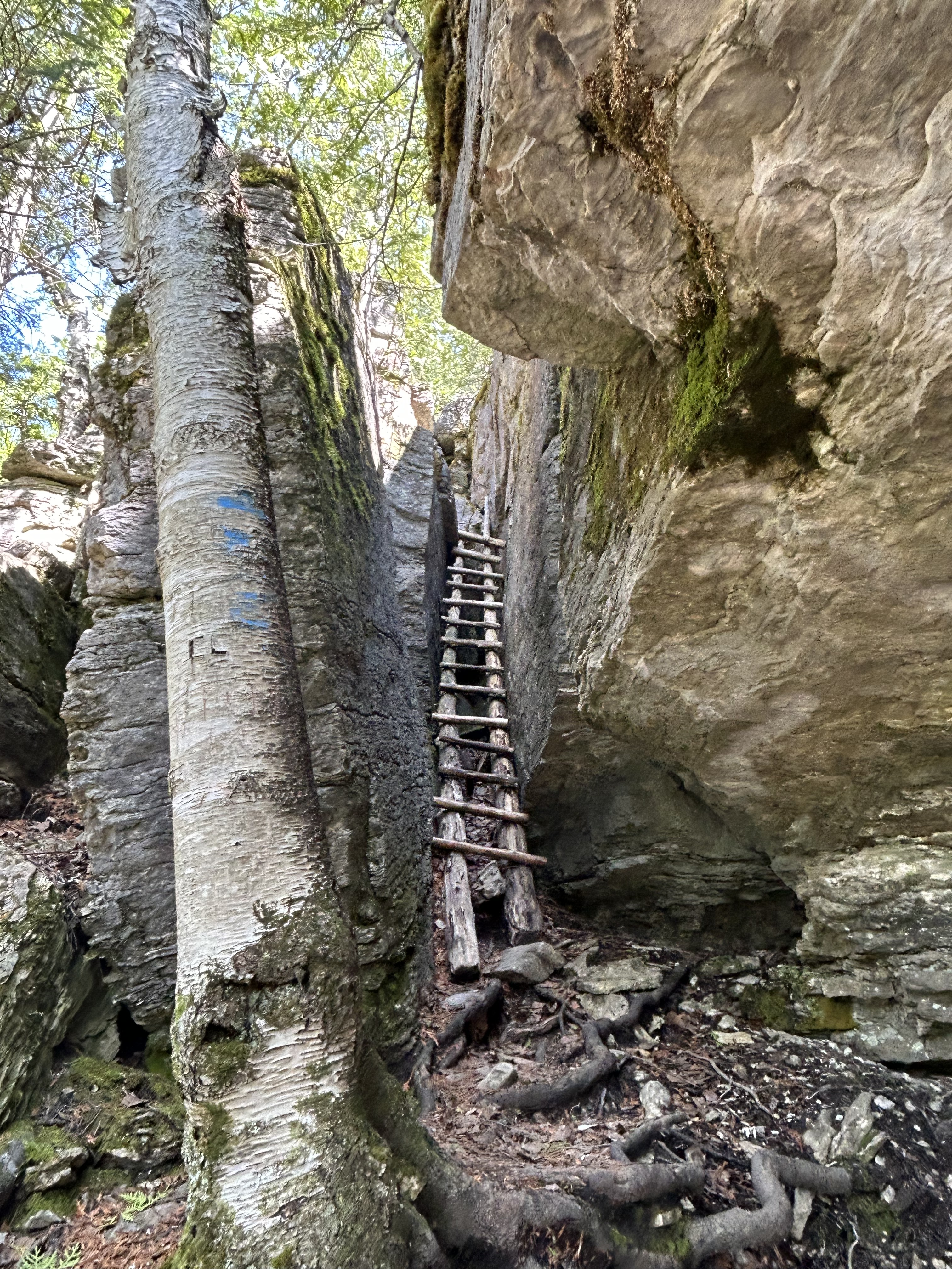
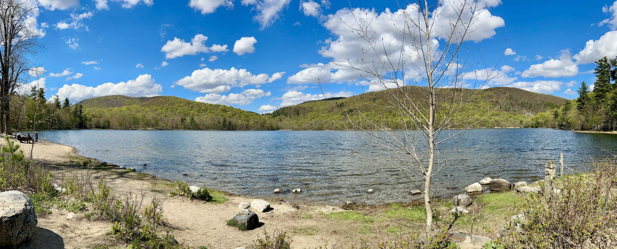
Charlevoix is a mountainous area on the St Lawrence Seaway with great hiking. Ski in winter or take a tour boat in summer.
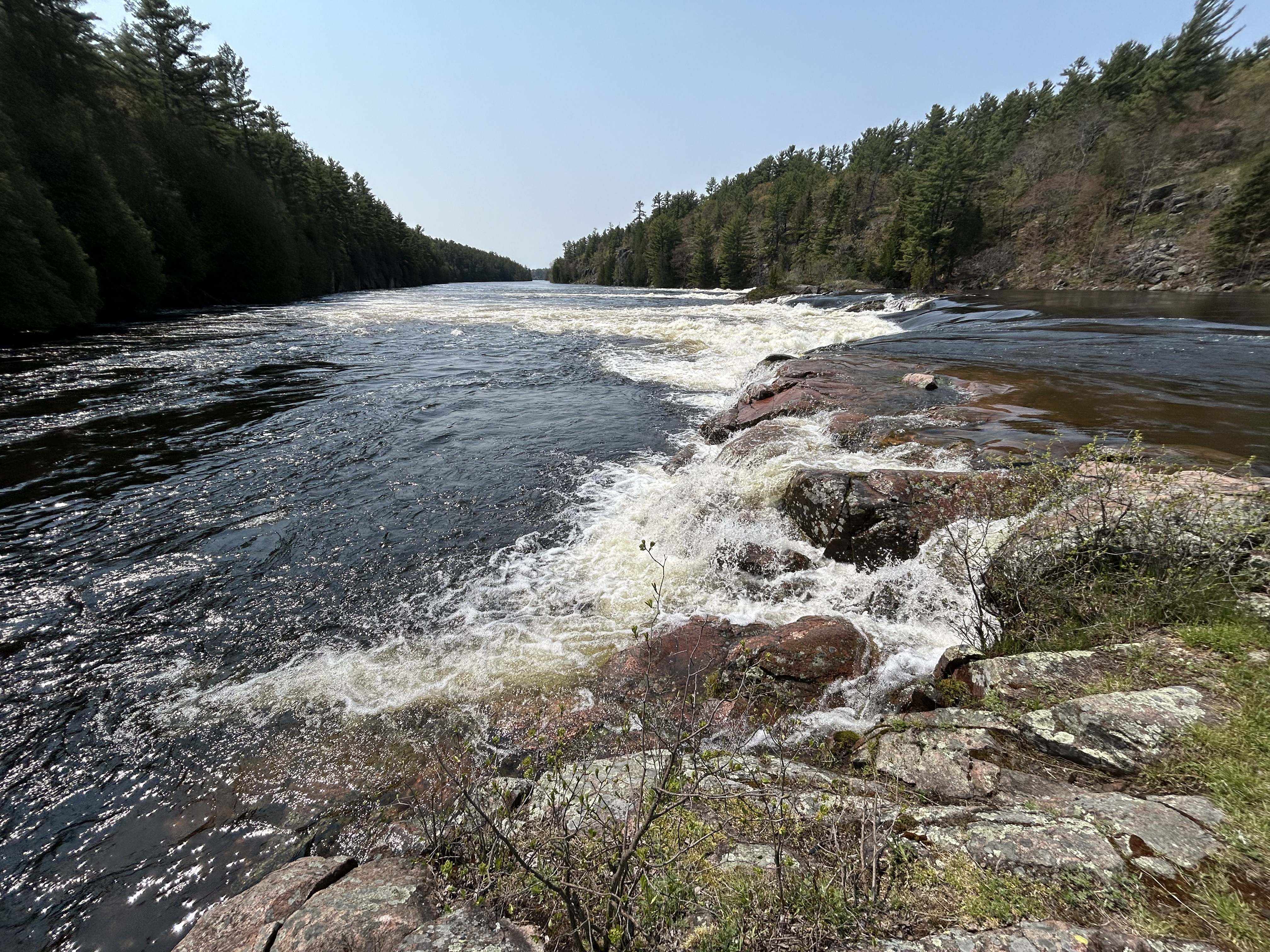
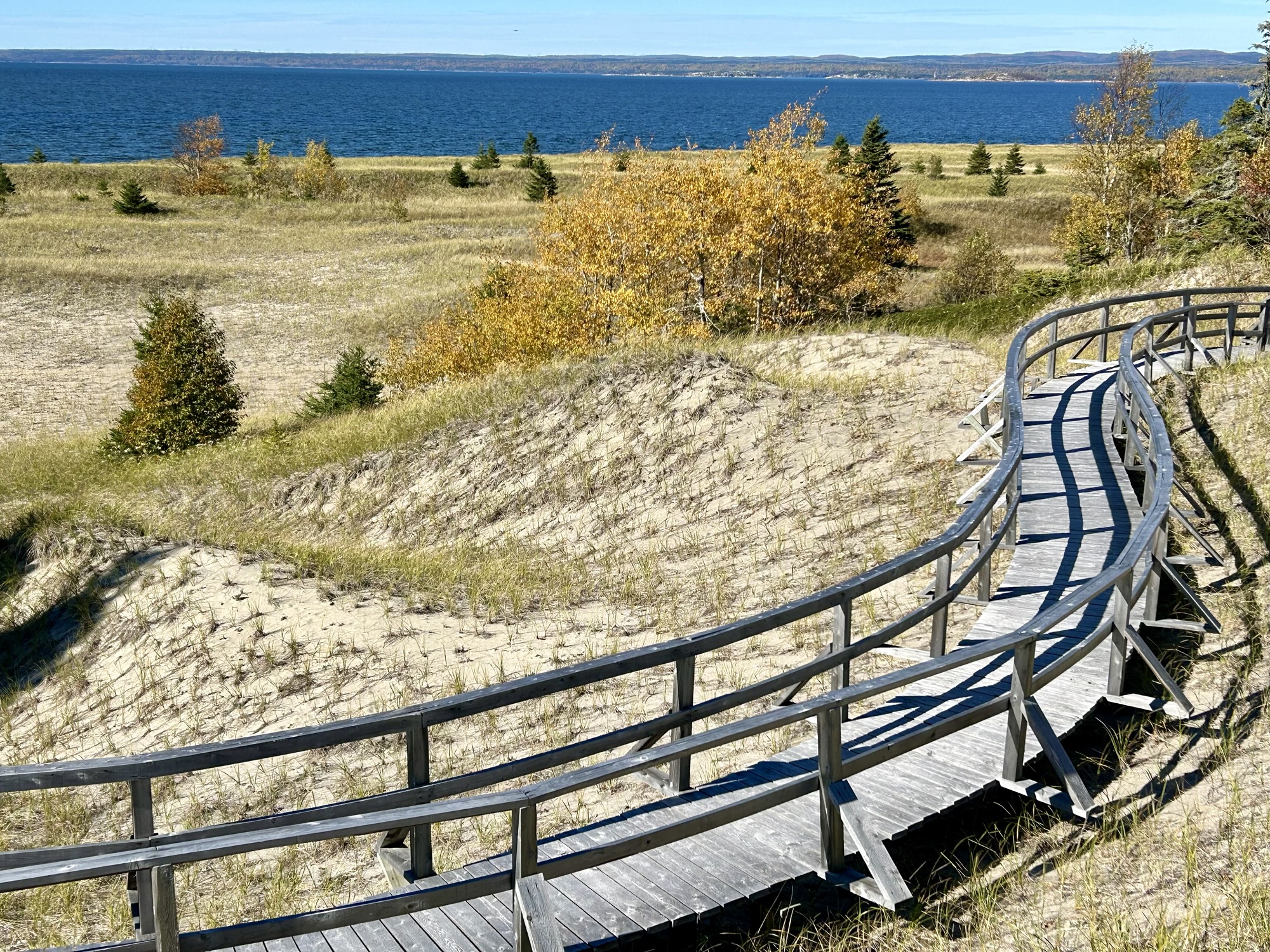
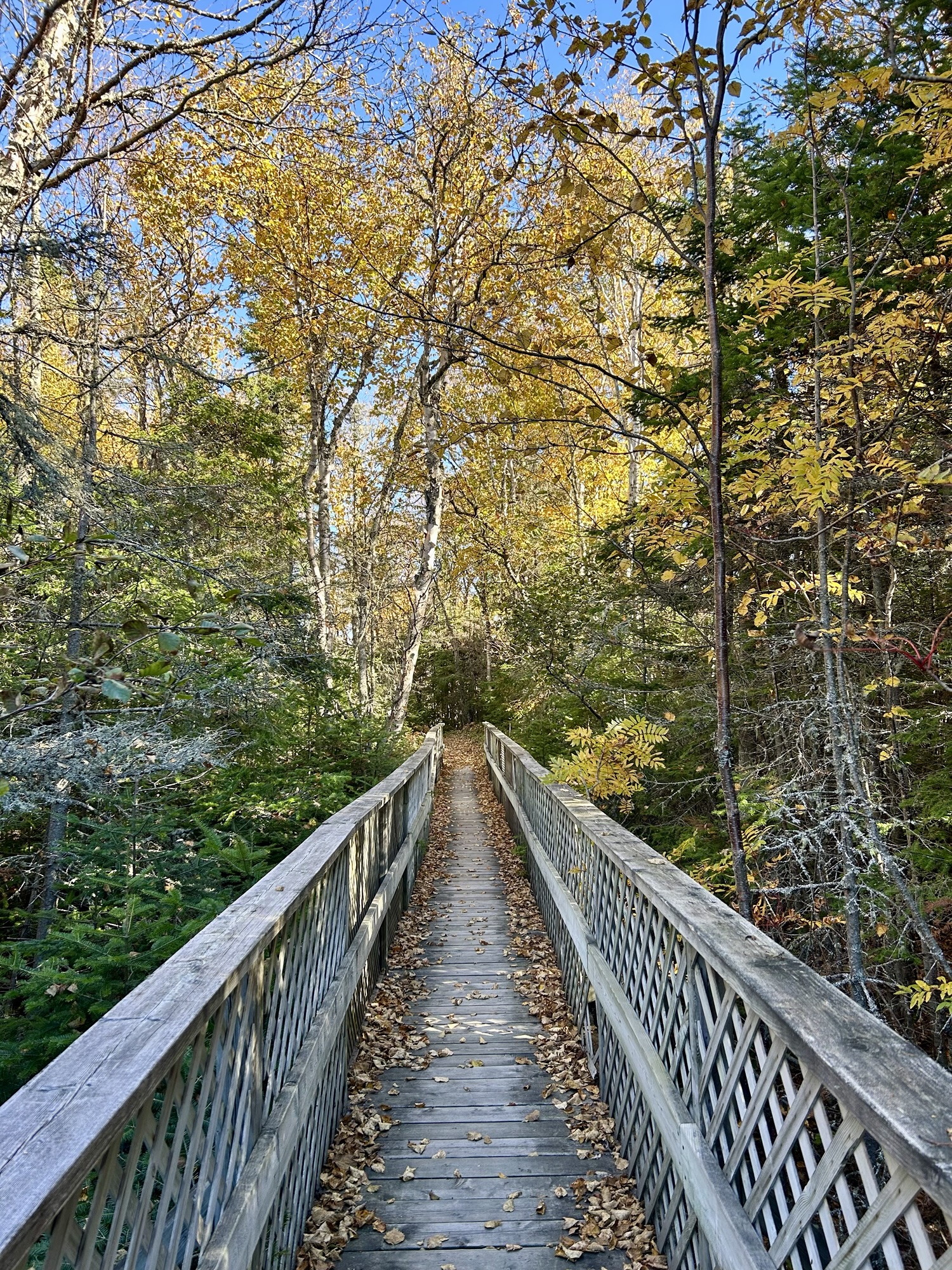
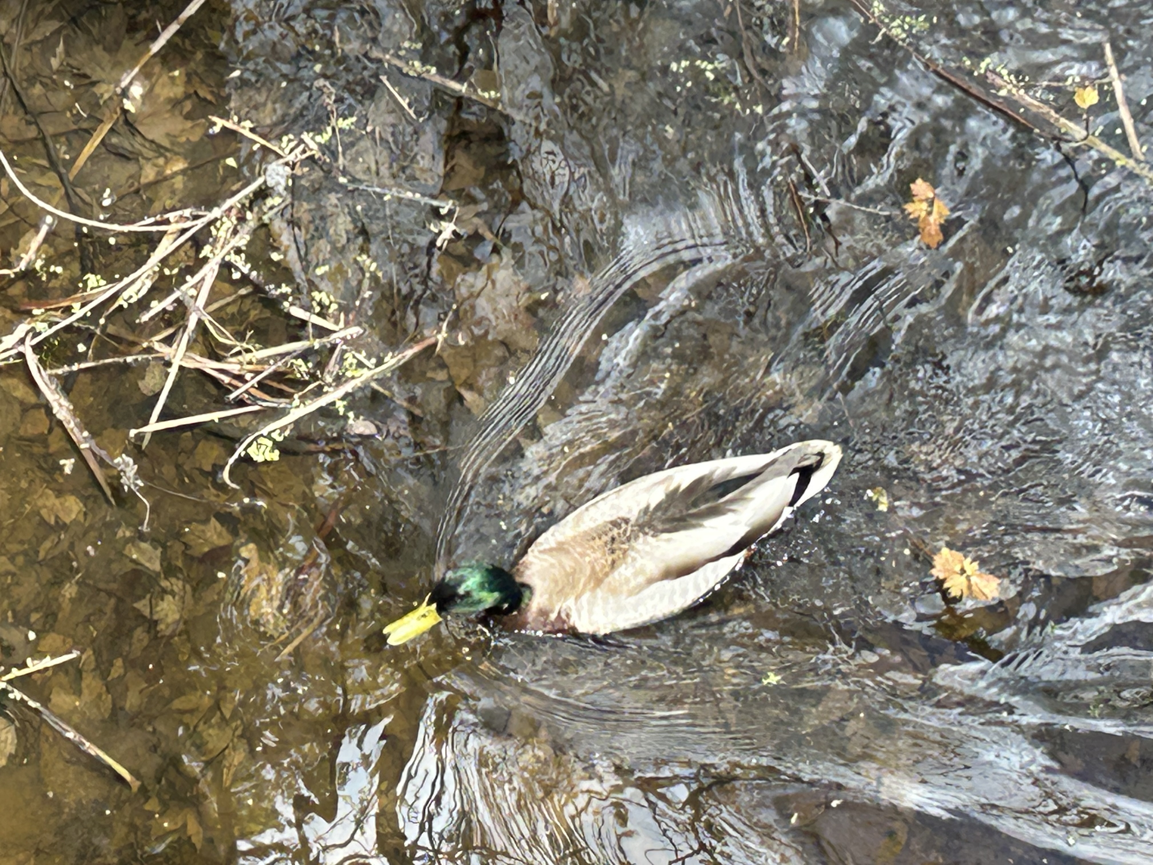
Lac Saint-Pierre in the St Lawrence estuary is a birding paradise. Take a boardwalk over the wetlands out to a viewing platform on the water.
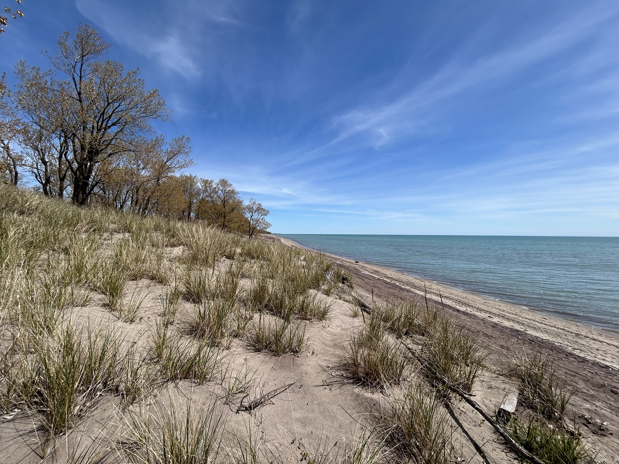
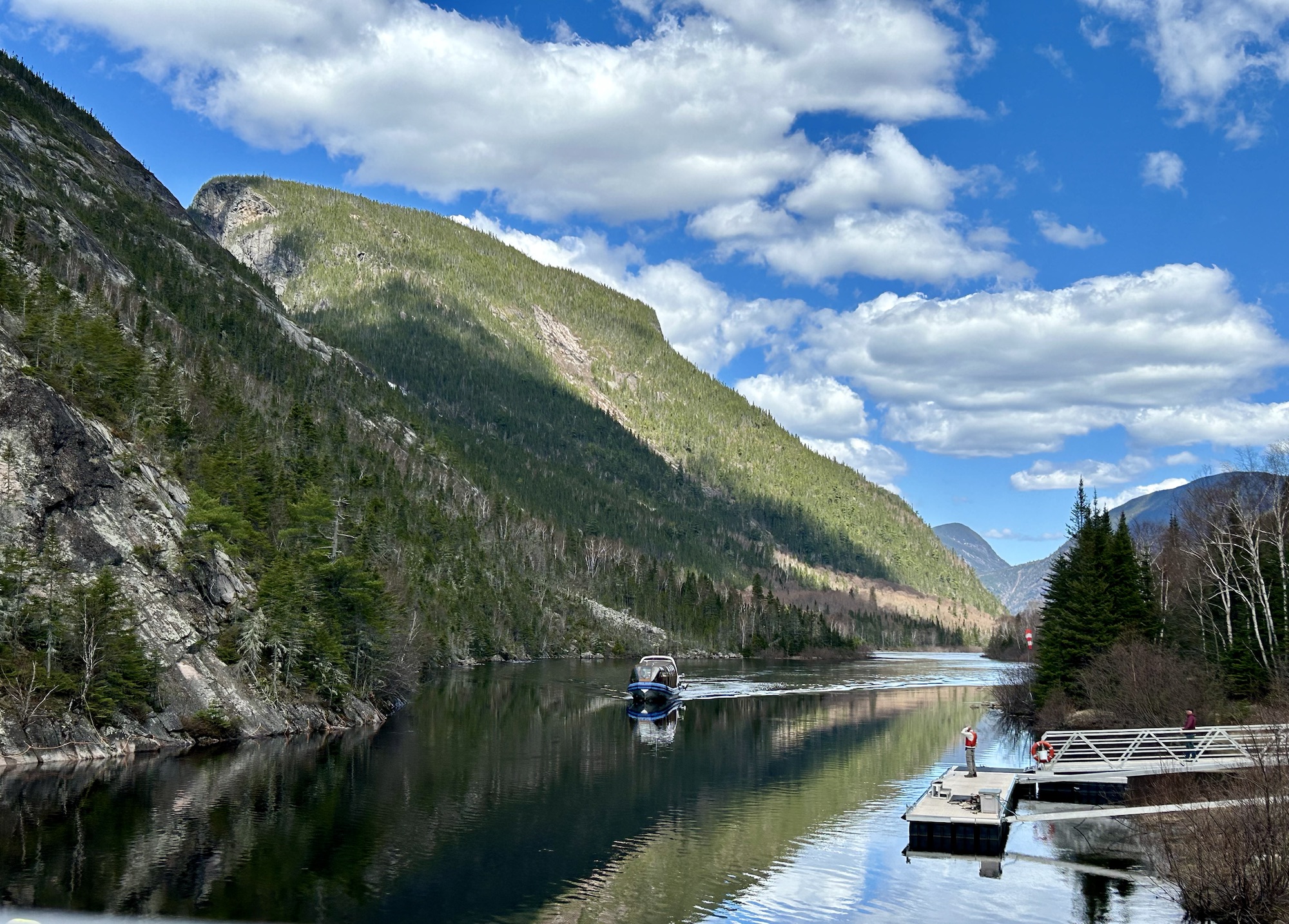
Manicouagan-Uapishka has a ring lake that can be seen from space, native culture and a variety of ecotones down to the coast.
Mont Saint-Hilaire is near Montreal and preserves old growth hardwood forest. Hike through the lovely woods near McGill University.